 Old Cumbria Gazetteer
 |
 |
|
| Ben Gill | ||
| runs into:- |  Ehen, River Ehen, River |
|
|
|
||
| locality:- | Crag Fell | |
| civil parish:- | Ennerdale and Kinniside (formerly Cumberland) | |
| county:- | Cumbria | |
| locality type:- | river | |
| 1Km square:- | NY0814 (etc) | |
| 10Km square:- | NY01 | |
|
|
||
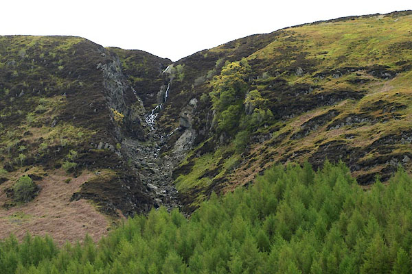 BWJ87.jpg (taken 16.5.2012) 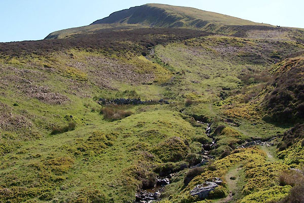 BUL64.jpg (taken 27.4.2011) |
||
|
|
||
| evidence:- | old map:- OS County Series (Cmd 68 11) placename:- Ben Gill |
|
| source data:- | Maps, County Series maps of Great Britain, scales 6 and 25
inches to 1 mile, published by the Ordnance Survey, Southampton,
Hampshire, from about 1863 to 1948. |
|
|
|
||
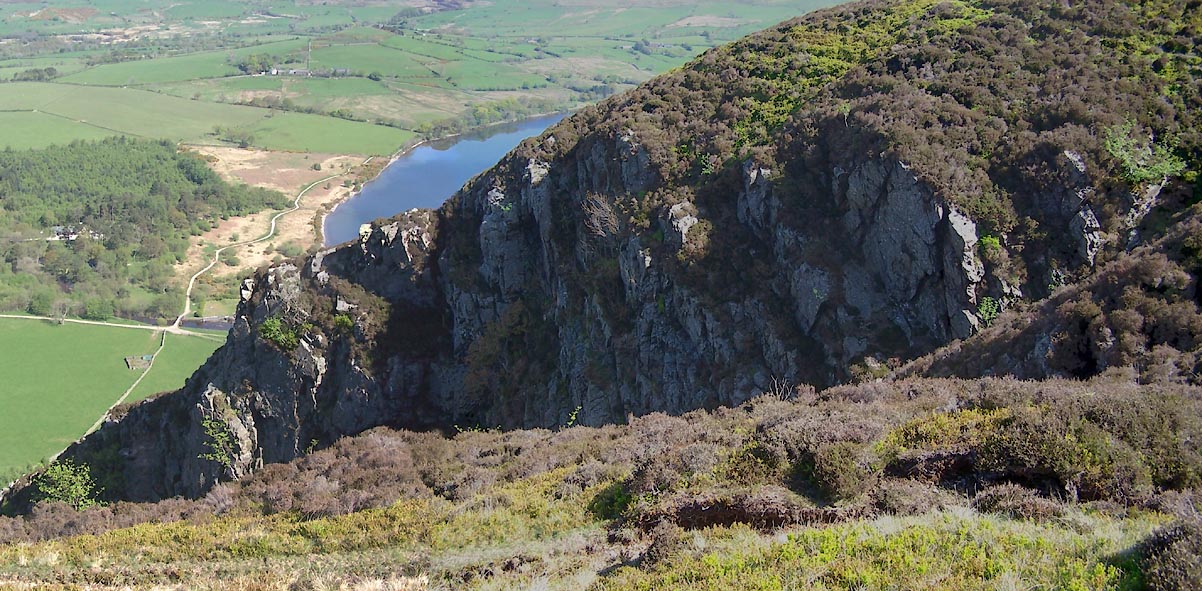 Click to enlarge BUL62.jpg Ben Gill ravine, (taken 27.4.2011) 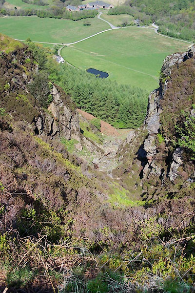 BUL63.jpg Ben Gill ravine, (taken 27.4.2011) |
||
|
|
||
Lakes Guides menu.