 Old Cumbria Gazetteer
 |
 |
|
| Beck Bridge, Cumwhinton | ||
| Beck Bridge | ||
| site name:- | Pow Maughan | |
| locality:- | Cumwhinton | |
| civil parish:- | Wetheral (formerly Cumberland) | |
| county:- | Cumbria | |
| locality type:- | bridge | |
| coordinates:- | NY45515321 | |
| 1Km square:- | NY4553 | |
| 10Km square:- | NY45 | |
|
|
||
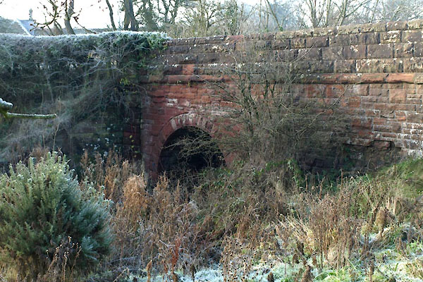 BXR85.jpg (taken 30.11.2012) |
||
|
|
||
| evidence:- | old map:- OS County Series (Cmd 24 10) placename:- Beck Bridge |
|
| source data:- | Maps, County Series maps of Great Britain, scales 6 and 25
inches to 1 mile, published by the Ordnance Survey, Southampton,
Hampshire, from about 1863 to 1948. |
|
|
|
||
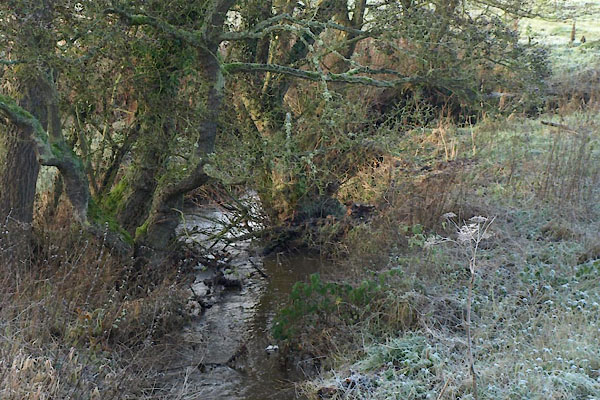 BXR86.jpg View of river. (taken 30.11.2012) |
||
|
|
||
 Lakes Guides menu.