 Old Cumbria Gazetteer
 |
 |
|
| Barrow Fold, Staveley-in-Cartmel | ||
| Barrow Fold | ||
| locality:- | Staveley-in-Cartmel | |
| civil parish:- | Staveley-in-Cartmel (formerly Lancashire) | |
| county:- | Cumbria | |
| locality type:- | buildings | |
| coordinates:- | SD37848616 | |
| 1Km square:- | SD3786 | |
| 10Km square:- | SD38 | |
| references:- | Listed Buildings 2010 |
|
|
|
||
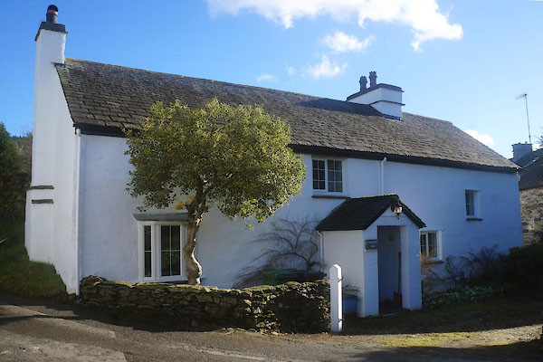 CEO31.jpg (taken 10.2.2016) |
||
|
|
||
| evidence:- | probably old map:- OS County Series (Lan 8 15) placename:- Rose Cottage |
|
| source data:- | Maps, County Series maps of Great Britain, scales 6 and 25
inches to 1 mile, published by the Ordnance Survey, Southampton,
Hampshire, from about 1863 to 1948. |
|
|
|
||
| evidence:- | database:- Listed Buildings 2010 placename:- Barrow Fold |
|
| source data:- | courtesy of English Heritage "BARROW FOLD / / / STAVELEY IN CARTMEL / SOUTH LAKELAND / CUMBRIA / II / 422154 / SD3784886161" |
|
|
|
||
 Lakes Guides menu.