 Old Cumbria Gazetteer
 |
 |
|
| Shap CofE School, Shap | ||
| Shap CofE School | ||
| locality:- | Shap | |
| civil parish:- | Shap (formerly Westmorland) | |
| county:- | Cumbria | |
| locality type:- | school | |
| coordinates:- | NY56341514 | |
| 1Km square:- | NY5615 | |
| 10Km square:- | NY51 | |
|
|
||
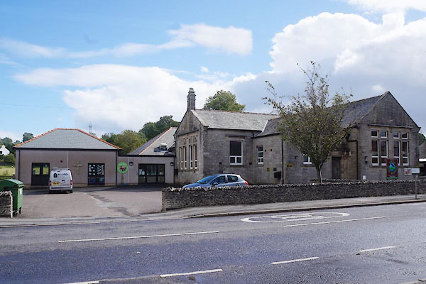 CDT11.jpg (taken 28.8.2015) 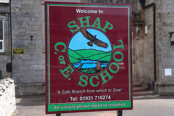 CDT12.jpg Sign. (taken 28.8.2015) |
||
|
|
||
| evidence:- | old map:- OS County Series (Wmd 14 14) placename:- Grammar School |
|
| source data:- | Maps, County Series maps of Great Britain, scales 6 and 25
inches to 1 mile, published by the Ordnance Survey, Southampton,
Hampshire, from about 1863 to 1948. "Grammar School (Endowed)" |
|
|
|
||
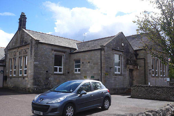 CDT13.jpg Older building. (taken 28.8.2015) 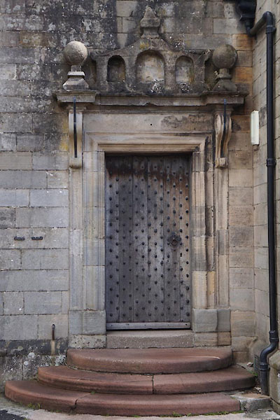 CDT14.jpg Door. (taken 28.8.2015) 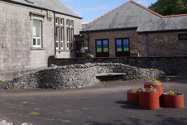 CDT15.jpg Seat. (taken 28.8.2015) |
||
|
|
||
 Lakes Guides menu.