 Old Cumbria Gazetteer
 |
 |
|
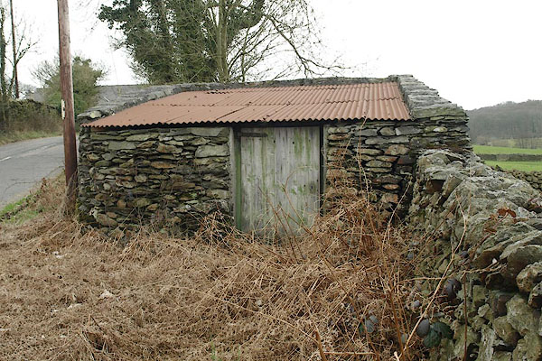
| pinfold, Staveley-in-Cartmel | ||
| civil parish:- | Staveley-in-Cartmel (formerly Lancashire) | |
| county:- | Cumbria | |
| locality type:- | pinfold | |
| coordinates:- | SD38318492 | |
| 1Km square:- | SD3884 | |
| 10Km square:- | SD38 | |
|
|
||
 BSM04.jpg (taken 9.4.2010) |
||
|
|
||
| evidence:- | old map:- OS County Series (Lan 12 3) |
|
| source data:- | Maps, County Series maps of Great Britain, scales 6 and 25
inches to 1 mile, published by the Ordnance Survey, Southampton,
Hampshire, from about 1863 to 1948. "Pound" |
|
|
|
||
 Lakes Guides menu.