 Old Cumbria Gazetteer
 |
 |
|
| milestone, Scaleby | ||
| site name:- | road, Brampton to Longtown | |
| civil parish:- | Scaleby (formerly Cumberland) | |
| county:- | Cumbria | |
| locality type:- | milestone | |
| coordinates:- | NY46276443 | |
| 1Km square:- | NY4664 | |
| 10Km square:- | NY46 | |
|
|
||
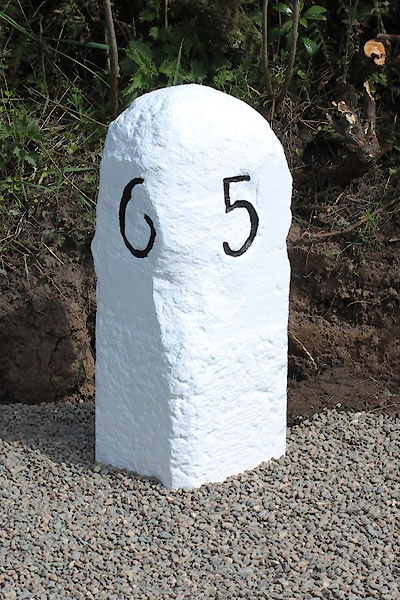 CEL83.jpg Inscribed stone:- "6" "5" (taken 2.5.2013) courtesy of Terry Moore Image © Terry Moore |
||
|
|
||
| evidence:- | old map:- OS County Series (Cmd 11 14) |
|
| source data:- | Maps, County Series maps of Great Britain, scales 6 and 25
inches to 1 mile, published by the Ordnance Survey, Southampton,
Hampshire, from about 1863 to 1948. "M.S Longtown 6 Brampton 5" |
|
|
|
||
| evidence:- | database:- Listed Buildings 2010 |
|
| source data:- | courtesy of English Heritage "MILESTONE AT NATIONAL GRID REFERENCE NY 46270 64430 / / A6071 (EAST OF HALFWAY HOUSE) / SCALEBY / CARLISLE / CUMBRIA / II / 77951 / NY4626864426" |
|
| source data:- | courtesy of English Heritage "Milestone. Probably 1807 for the Brampton-Longtown Turnpike. Whitewashed red sandstone. Square stone set at angle to give 2 faces in direction of traffic, one inscribed 6 (the miles to Longtown), the other 5 (the miles to Brampton), the numbers picked out in black." |
|
|
|
||
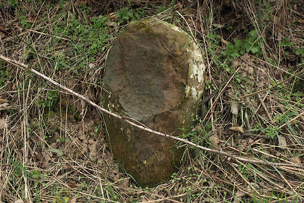 BSK71.jpg Damaged and defaced. (taken 2.4.2010) |
||
|
|
||
 Lakes Guides menu.