 Old Cumbria Gazetteer
 |
 |
|
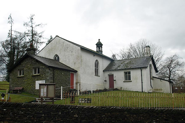
| school, Far Sawrey | ||
| Sawrey Endowed School | ||
| Braithwaite Hall | ||
| locality:- | Far Sawrey | |
| civil parish:- | Claife (formerly Lancashire) | |
| county:- | Cumbria | |
| locality type:- | school (ex) | |
| locality type:- | village hall (?) | |
| coordinates:- | SD37879542 | |
| 1Km square:- | SD3795 | |
| 10Km square:- | SD39 | |
|
|
||
 BSK16.jpg (taken 30.3.2010) 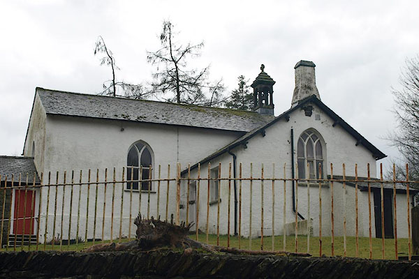 BSK17.jpg (taken 30.3.2010) |
||
|
|
||
| evidence:- | old map:- OS County Series (Lan 5 7) placename:- |
|
| source data:- | Maps, County Series maps of Great Britain, scales 6 and 25
inches to 1 mile, published by the Ordnance Survey, Southampton,
Hampshire, from about 1863 to 1948. "School" |
|
| source data:- | Maps, County Series maps of Great Britain, scales 6 and 25
inches to 1 mile, published by the Ordnance Survey, Southampton,
Hampshire, from about 1863 to 1948. "Endowed School" |
|
|
|
||
 Lakes Guides menu.