 Old Cumbria Gazetteer
 |
 |
|
| Hart Crag, Patterdale | ||
| Hart Crag | ||
| locality:- | Rydal Head | |
| civil parish:- | Patterdale (formerly Westmorland) | |
| county:- | Cumbria | |
| locality type:- | hill | |
| locality type:- | rocks | |
| coordinates:- | NY36841116 (etc) | |
| 1Km square:- | NY3611 | |
| 10Km square:- | NY31 | |
| altitude:- | 2697 feet | |
| altitude:- | 822m | |
|
|
||
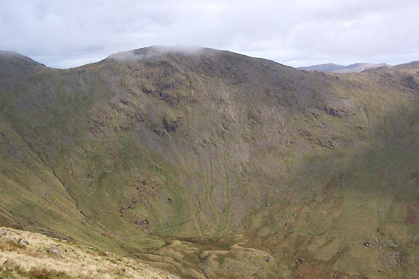 BRS44.jpg At the head of the dale. (taken 7.10.2009) 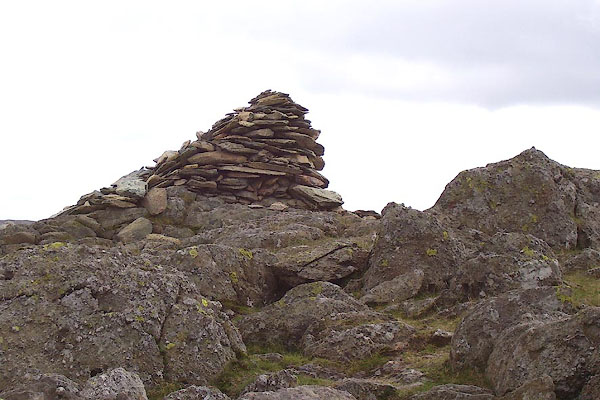 BOE55.jpg Cairn on the top. (taken 11.9.2007) |
||
|
|
||
| evidence:- | old map:- OS County Series (Wmd 19 6) placename:- Hart Crag |
|
| source data:- | Maps, County Series maps of Great Britain, scales 6 and 25
inches to 1 mile, published by the Ordnance Survey, Southampton,
Hampshire, from about 1863 to 1948. |
|
|
|
||
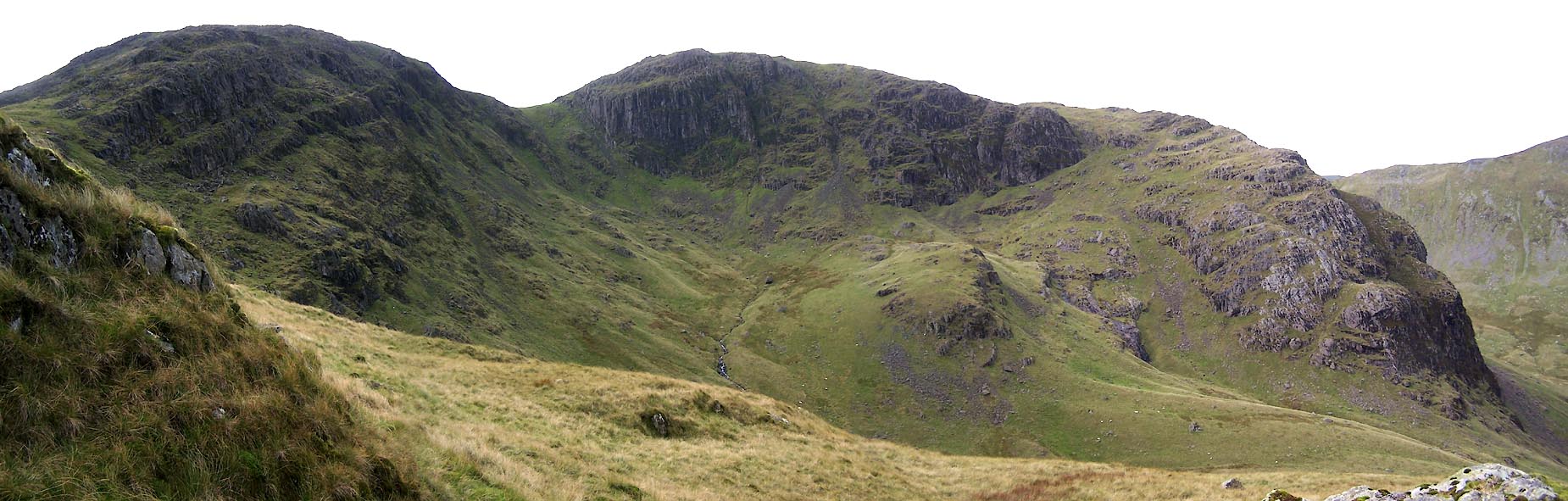 Click to enlarge BXI67.jpg Hart Crag, Scrubby Crag, The Step, Greenhow End round Link Cove. (taken 18.9.2012) |
||
|
|
||
 Lakes Guides menu.