 Old Cumbria Gazetteer
 |
 |
|
| Pedlers' Stone, King's Meaburn | ||
| Pedlers' Stone | ||
| civil parish:- | King's Meaburn (formerly Westmorland) | |
| county:- | Cumbria | |
| locality type:- | stone | |
| coordinates:- | NY61912186 (?) | |
| 1Km square:- | NY6121 | |
| 10Km square:- | NY62 | |
| references:- | OS County Series |
|
|
|
||
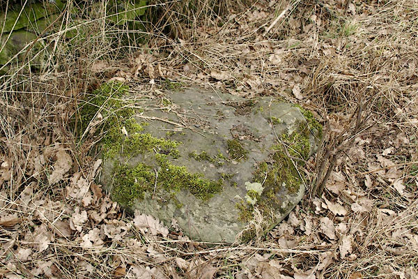 BSH12.jpg Perhaps; the only 'stone' here. (taken 12.3.2010) |
||
|
|
||
| evidence:- | old map:- OS County Series (Wmd 8 16) placename:- Pedler's Stone |
|
| source data:- | Maps, County Series maps of Great Britain, scales 6 and 25
inches to 1 mile, published by the Ordnance Survey, Southampton,
Hampshire, from about 1863 to 1948. |
|
|
|
||
 Lakes Guides menu.