 Old Cumbria Gazetteer
 |
 |
|
| Wythburn Head Tarns, Wythburn | ||
| Wythburn Head Tarns | ||
| site name:- | Wyth Burn | |
| site name:- | Wythburn Fells | |
| civil parish:- | St John's Castlerigg and Wythburn (formerly Cumberland) | |
| county:- | Cumbria | |
| locality type:- | tarn | |
| coordinates:- | NY30441149 (etc) | |
| 1Km square:- | NY3011 | |
| 10Km square:- | NY31 | |
| altitude:- | 1329 feet | |
| altitude:- | 405m | |
| SummaryText:- | pools on the burn | |
|
|
||
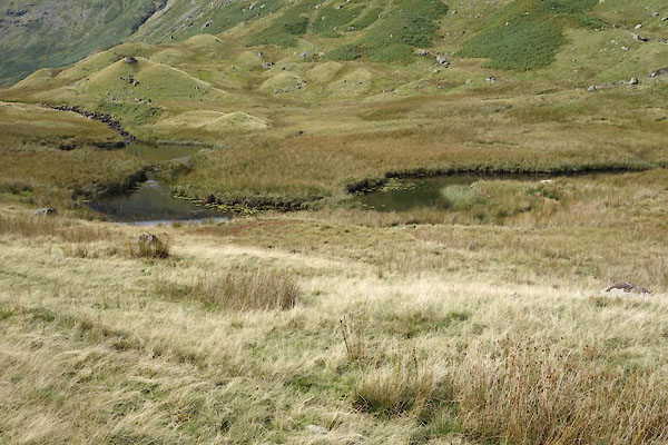 CBP70.jpg (taken 8.9.2014) 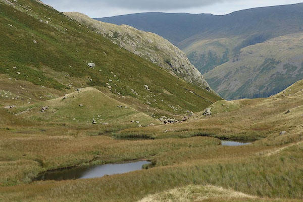 CBP71.jpg (taken 8.9.2014) |
||
|
|
||
| evidence:- | old map:- OS County Series (Cmd 75 4) placename:- Wythburn Head Tarns |
|
| source data:- | Maps, County Series maps of Great Britain, scales 6 and 25
inches to 1 mile, published by the Ordnance Survey, Southampton,
Hampshire, from about 1863 to 1948. |
|
|
|
||
 Lakes Guides menu.