 Old Cumbria Gazetteer
 |
 |
|
| Whitebeck Bridge, Whitebeck | ||
| Whitebeck Bridge | ||
| locality:- | Whitebeck | |
| civil parish:- | Crosthwaite and Lyth (formerly Westmorland) | |
| county:- | Cumbria | |
| locality type:- | bridge | |
| coordinates:- | SD45358964 | |
| 1Km square:- | SD4589 | |
| 10Km square:- | SD48 | |
| SummaryText:- | Over a drainage ditch. | |
|
|
||
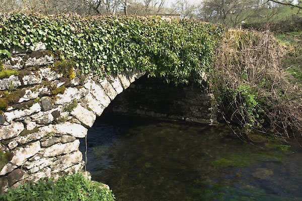 BYE73.jpg (taken 26.4.2013) 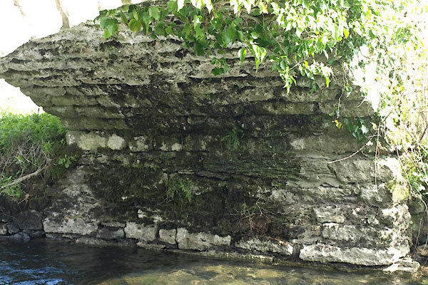 BYE74.jpg Under arch. (taken 26.4.2013) |
||
|
|
||
| evidence:- | old map:- OS County Series (Wmd 38 13) placename:- Whitebeck Bridge |
|
| source data:- | Maps, County Series maps of Great Britain, scales 6 and 25
inches to 1 mile, published by the Ordnance Survey, Southampton,
Hampshire, from about 1863 to 1948. |
|
|
|
||
| evidence:- | database:- Listed Buildings 2010 |
|
| source data:- | courtesy of English Heritage "BRIDGE APPROXIMATELY 30 METRES TO EAST OF LYTH VALLEY HOTEL / / / CROSTHWAITE AND LYTH / SOUTH LAKELAND / CUMBRIA / II / 77104 / SD4535189635" |
|
| source data:- | courtesy of English Heritage "Bridge over drainage ditch. Probably early C19. Stone rubble and some dressed stone. Segmental arch and low parapets. Approx. 3.5m wide. Built in connection with drainage works after enclosure of 1815." |
|
|
|
||
| MN photo:- |
Just a drainage ditch. Probably dug after enclosure about 1815. |
|
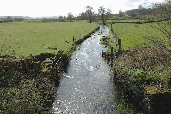 BYE75.jpg (taken 26.4.2013) 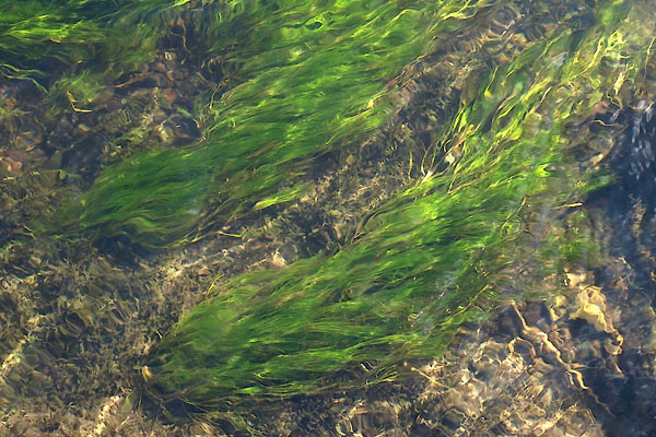 BYE76.jpg (taken 26.4.2013) |
||
|
|
||
 Lakes Guides menu.