 Old Cumbria Gazetteer
 |
 |
|
| Wether Fold, Kentmere | ||
| Wether Fold | ||
| locality:- | Kent, River | |
| locality:- | Kentmere | |
| civil parish:- | Kentmere (formerly Westmorland) | |
| county:- | Cumbria | |
| locality type:- | sheepfold | |
| locality type:- | wash fold (?) | |
| coordinates:- | NY44780758 | |
| 1Km square:- | NY4407 | |
| 10Km square:- | NY40 | |
|
|
||
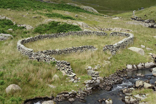 CBD73.jpg (taken 15.7.2014) 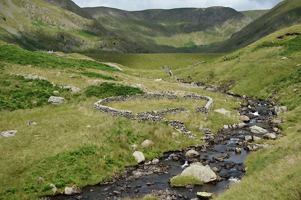 CBD74.jpg (taken 15.7.2014) |
||
|
|
||
| evidence:- | old map:- OS County Series (Wmd 27 1) placename:- Wether Fold |
|
| source data:- | Maps, County Series maps of Great Britain, scales 6 and 25
inches to 1 mile, published by the Ordnance Survey, Southampton,
Hampshire, from about 1863 to 1948. |
|
|
|
||
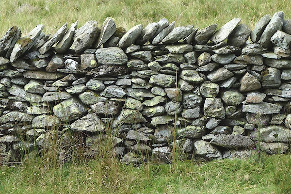 CBD75.jpg Walling. (taken 15.7.2014) |
||
|
|
||
 Lakes Guides menu.