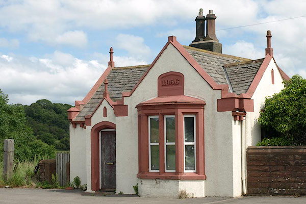


BSX83.jpg (taken 13.7.2010)

BSX84.jpg Date:-
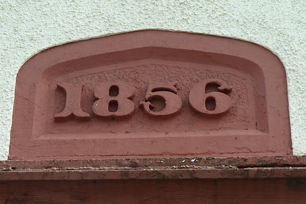
"1856" (taken 13.7.2010)
"T.P."
placename:- Toll Bar House
item:- date stone (1856)
courtesy of English Heritage
"TOLL BAR HOUSE / / NORTH ROAD / EGREMONT / COPELAND / CUMBRIA / II / 76138 / NY0078811538"
courtesy of English Heritage
"Toll-house, now private dwelling. Dated 1856 on panel above bay window; later alterations. Built for Whitehaven Turnpike Trust. Incised stucco. Graduated slate roof with stone copings, kneelers, and finials to gables; square, stone, chimneys set diagonally. Cast-iron gutter. Single storey. Gabled porch to centre has panelled door in chamfered surround with 4-centred head. Corniced, canted, bay window on right; 3-light window to south return. All windows C20 in original chamfered stone surrounds, retaining original mullions. C20 flat-roofed extension to rear not of interest."

 Lakes Guides menu.