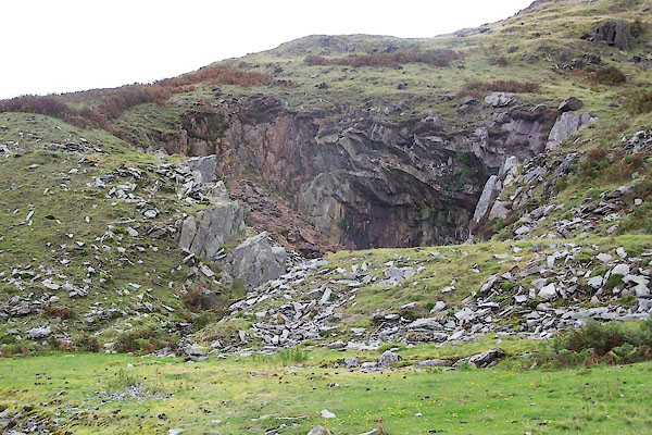


BTL52.jpg (taken 25.8.2010)

BTL53.jpg (taken 25.8.2010)
placename:- Stainton Ground Quarries
placename:- Stainton Ground
item:- slate
"Stainton Ground (Slate Quarry)"

Click to enlarge
BTL54.jpg (taken 25.8.2010)

BTL55.jpg (taken 25.8.2010)

BTL56.jpg (taken 25.8.2010)

BTQ85.jpg (taken 11.10.2010)

BTQ94.jpg (taken 11.10.2010)

BTQ86.jpg Waste pile, lower mine.
(taken 11.10.2010)

BTQ87.jpg Waste pile, lower mine.
(taken 11.10.2010)

BTQ88.jpg Adit, lower mine,
(taken 11.10.2010)

BTQ89.jpg Adit, lower mine,
(taken 11.10.2010)

BTQ90.jpg Adit, lower mine,
(taken 11.10.2010)

BTQ91.jpg Adit? further up,
(taken 11.10.2010)

BTQ92.jpg Adit? further up,
(taken 11.10.2010)

BTQ93.jpg Tramroad rail at adit,
(taken 11.10.2010)

BTQ95.jpg Upper quarry.
(taken 11.10.2010)

BTQ96.jpg Upper quarry, building.
(taken 11.10.2010)

BTQ97.jpg Upper quarry, building.
(taken 11.10.2010)

BTQ98.jpg Upper quarry, building.
(taken 11.10.2010)

BTQ99.jpg Upper quarry, building.
(taken 11.10.2010)

 Lakes Guides menu.