 Old Cumbria Gazetteer
 |
 |
|
| Smardale Gill Quarry, Waitby | ||
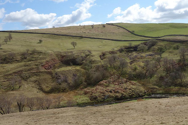
| Smardale Gill Quarry | ||
| locality:- | Smardale | |
| civil parish:- | Waitby (formerly Westmorland) | |
| county:- | Cumbria | |
| locality type:- | quarry | |
| coordinates:- | NY724060 | |
| 1Km square:- | NY7206 | |
| 10Km square:- | NY70 | |
| references:- | OS County Series |
|
|
|
||
 CAJ80.jpg (taken 14.4.2014) |
||
|
|
||
| evidence:- | old map:- OS County Series (Wmd 30) placename:- Smardale Gill Quarry |
|
| source data:- | Maps, County Series maps of Great Britain, scales 6 and 25
inches to 1 mile, published by the Ordnance Survey, Southampton,
Hampshire, from about 1863 to 1948. "Smardale Gill Quarry" |
|
|
|
||
 Lakes Guides menu.