 Old Cumbria Gazetteer
 |
 |
|
| school, Wreay | ||
| Wreay CofE School | ||
| locality:- | Wreay | |
| civil parish:- | St Cuthbert Without (formerly Cumberland) | |
| county:- | Cumbria | |
| locality type:- | school | |
| coordinates:- | NY43454895 | |
| 1Km square:- | NY4348 | |
| 10Km square:- | NY44 | |
| references:- | OS County Series |
|
|
|
||
 BSF41.jpg (taken 2.3.2010) 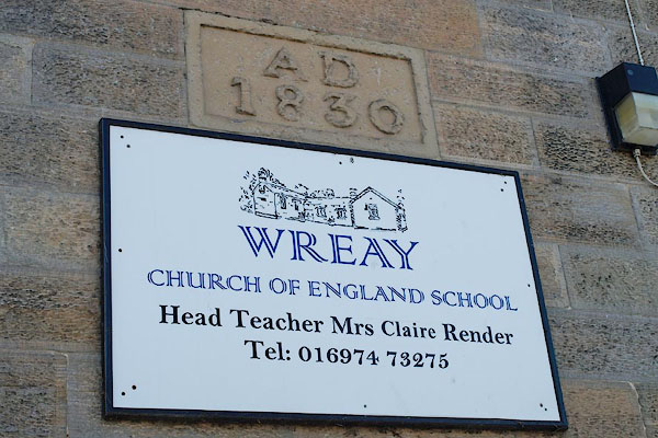 BSF42.jpg New sign and old date plaque:- "WREAY / CHURCH OF ENGLAND SCHOOL" "AD / 1830" (taken 2.3.2010) |
||
|
|
||
| evidence:- | old map:- OS County Series (Cmd 31 5) |
|
| source data:- | Maps, County Series maps of Great Britain, scales 6 and 25
inches to 1 mile, published by the Ordnance Survey, Southampton,
Hampshire, from about 1863 to 1948. "Endowed School" |
|
|
|
||
 Lakes Guides menu.