 Old Cumbria Gazetteer
 |
 |
|
| school, Westnewton | ||
| Westnewton School | ||
| St Matthew's National School | ||
| locality:- | Westnewton | |
| civil parish:- | Westnewton (formerly Cumberland) | |
| county:- | Cumbria | |
| locality type:- | school | |
| coordinates:- | NY13514414 | |
| 1Km square:- | NY1344 | |
| 10Km square:- | NY14 | |
|
|
||
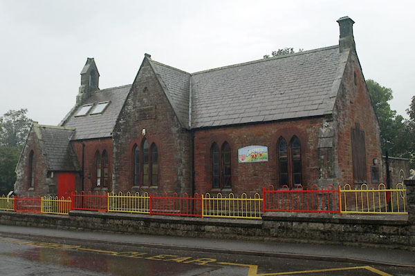 BVJ12.jpg (taken 16.9.2011) 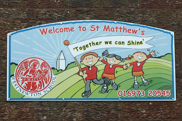 BVJ13.jpg School sign. (taken 16.9.2011) |
||
|
|
||
| evidence:- | old map:- OS County Series (Cmd 35 4) |
|
| source data:- | Maps, County Series maps of Great Britain, scales 6 and 25
inches to 1 mile, published by the Ordnance Survey, Southampton,
Hampshire, from about 1863 to 1948. "National School (Endowed)" |
|
|
|
||
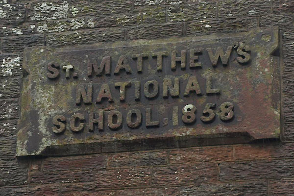 BVJ14.jpg Plaque:- "ST. MATTHEW'S / NATIONAL / SCHOOL, 1858." (taken 16.9.2011) 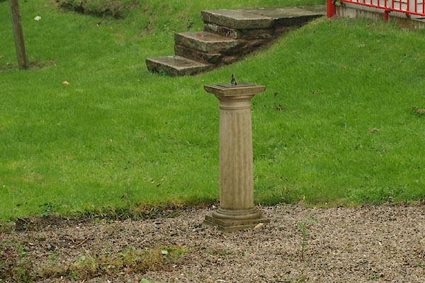 BVJ15.jpg Sundial. (taken 16.9.2011) |
||
|
|
||
| notes:- |
Built by John Todd. |
|
|
|
||
 Lakes Guides menu.