 Old Cumbria Gazetteer
 |
 |
|
| school, Matterdale (2) | ||
| Matterdale Centre | ||
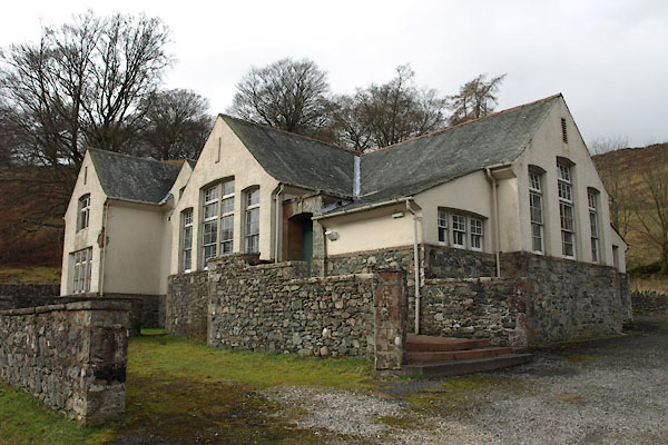
| Thornythwaite School | ||
| locality:- | Thornythwaite | |
| civil parish:- | Matterdale (formerly Cumberland) | |
| county:- | Cumbria | |
| locality type:- | school | |
| coordinates:- | NY39202227 | |
| 1Km square:- | NY3922 | |
| 10Km square:- | NY32 | |
| references:- | OS County Series |
|
|
|
||
 BUC76.jpg (taken 28.2.2011) 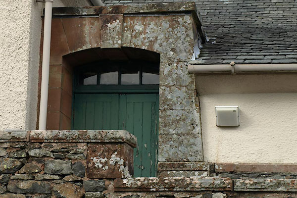 BUC77.jpg (taken 28.2.2011) |
||
|
|
||
| evidence:- | old map:- OS County Series (Cmd 65 7) |
|
| source data:- | Maps, County Series maps of Great Britain, scales 6 and 25
inches to 1 mile, published by the Ordnance Survey, Southampton,
Hampshire, from about 1863 to 1948. "Endowed School" |
|
|
|
||
| notes:- |
Erected by Rev Robert Grisedale? |
|
|
|
||
 Lakes Guides menu.