 Old Cumbria Gazetteer
 |
 |
|
| school, St John's Castlerigg etc | ||
| locality:- | St John's in the Vale | |
| civil parish:- | St John's Castlerigg and Wythburn (formerly Cumberland) | |
| county:- | Cumbria | |
| locality type:- | school (ex) | |
| coordinates:- | NY30602245 | |
| 1Km square:- | NY3022 | |
| 10Km square:- | NY32 | |
| references:- | OS County Series |
|
|
|
||
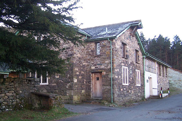 BXT44.jpg (taken 13.12.2012) 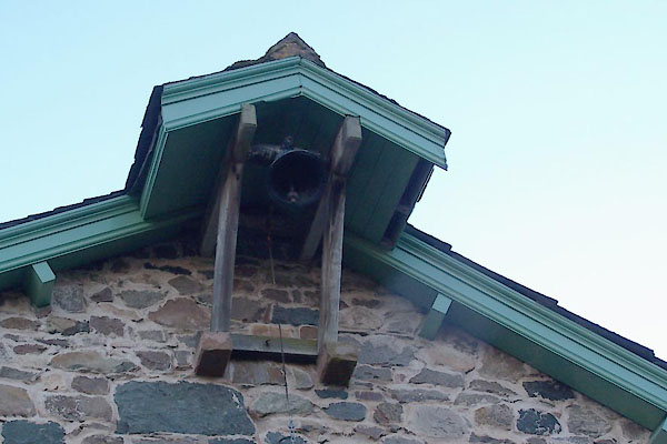 BXT45.jpg School bell. (taken 13.12.2012) |
||
|
|
||
| evidence:- | old map:- OS County Series (Cmd 64 8) |
|
| source data:- | Maps, County Series maps of Great Britain, scales 6 and 25
inches to 1 mile, published by the Ordnance Survey, Southampton,
Hampshire, from about 1863 to 1948. "School" |
|
|
|
||
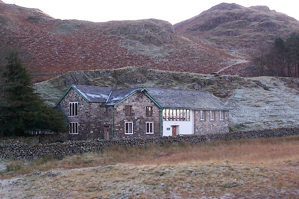 BXT43.jpg (taken 13.12.2012) |
||
|
|
||
 Lakes Guides menu.