 Old Cumbria Gazetteer
 |
 |
|
| school, Great Orton | ||
| Great Orton School | ||
| locality:- | Great Orton | |
| civil parish:- | Orton N (formerly Cumberland) | |
| county:- | Cumbria | |
| locality type:- | school | |
| coordinates:- | NY32825372 | |
| 1Km square:- | NY3253 | |
| 10Km square:- | NY35 | |
| references:- | OS County Series |
|
|
|
||
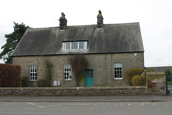 BUE93.jpg Older part of the buildings. (taken 11.3.2011) 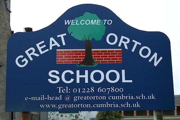 BUE94.jpg School sign. (taken 11.3.2011) |
||
|
|
||
| evidence:- | old map:- OS County Series (Cmd 22 12) |
|
| source data:- | Maps, County Series maps of Great Britain, scales 6 and 25
inches to 1 mile, published by the Ordnance Survey, Southampton,
Hampshire, from about 1863 to 1948. "Endowed School l Play Ground" |
|
|
|
||
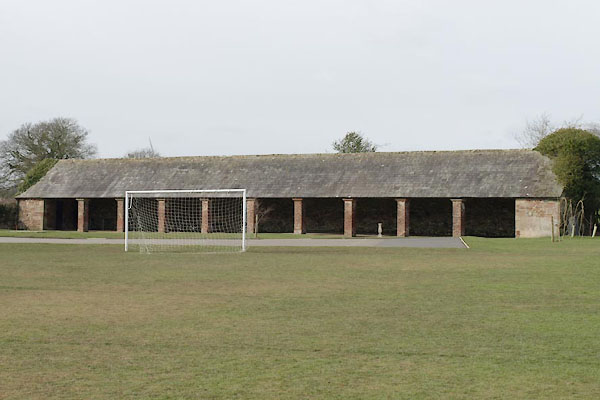 BUE95.jpg Building in the school field. (taken 11.3.2011) |
||
|
|
||
 Lakes Guides menu.