 Old Cumbria Gazetteer
 |
 |
|
| school, Firbank | ||
| Firbank School | ||
| locality:- | Firbank Fell | |
| civil parish:- | Firbank (formerly Westmorland) | |
| county:- | Cumbria | |
| locality type:- | school (gone) | |
| coordinates:- | SD61899373 | |
| 1Km square:- | SD6193 | |
| 10Km square:- | SD69 | |
|
|
||
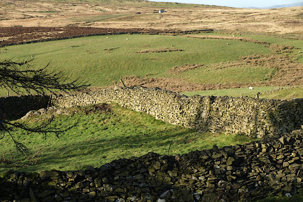 BRY40.jpg The school site is the corner where the large boulders lie. (taken 11.12.2009) |
||
|
|
||
| evidence:- | old map:- OS County Series (Wmd 39 4) |
|
| source data:- | Maps, County Series maps of Great Britain, scales 6 and 25
inches to 1 mile, published by the Ordnance Survey, Southampton,
Hampshire, from about 1863 to 1948. "School" NW corner of the church plot. |
|
|
|
||
 Lakes Guides menu.