 Old Cumbria Gazetteer
 |
 |
|
| school, Ennerdale Bridge | ||
| Ennerdale and Kinniside CofE Primary School | ||
| Ennerdale Bridge School | ||
| locality:- | Ennerdale Bridge | |
| civil parish:- | Ennerdale and Kinniside (formerly Cumberland) | |
| county:- | Cumbria | |
| locality type:- | school | |
| coordinates:- | NY07011585 | |
| 1Km square:- | NY0715 | |
| 10Km square:- | NY01 | |
| references:- | OS County Series |
|
|
|
||
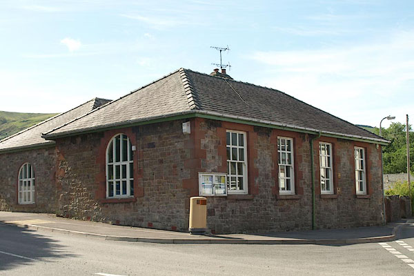 BSX68.jpg (taken 13.7.2010)  BSX69.jpg School sign. (taken 13.7.2010) |
||
|
|
||
| evidence:- | old map:- OS County Series (Cmd 68) |
|
| source data:- | Maps, County Series maps of Great Britain, scales 6 and 25
inches to 1 mile, published by the Ordnance Survey, Southampton,
Hampshire, from about 1863 to 1948. "School" at Ennerdale Bridge |
|
|
|
||
 Lakes Guides menu.