 Old Cumbria Gazetteer
 |
 |
|
| Rowell Bridge, Heversham | ||
| Rowell Bridge | ||
| site name:- | Stainton Beck (2) | |
| civil parish:- | Heversham (formerly Westmorland) | |
| county:- | Cumbria | |
| locality type:- | bridge | |
| coordinates:- | SD51998296 | |
| 1Km square:- | SD5182 | |
| 10Km square:- | SD58 | |
|
|
||
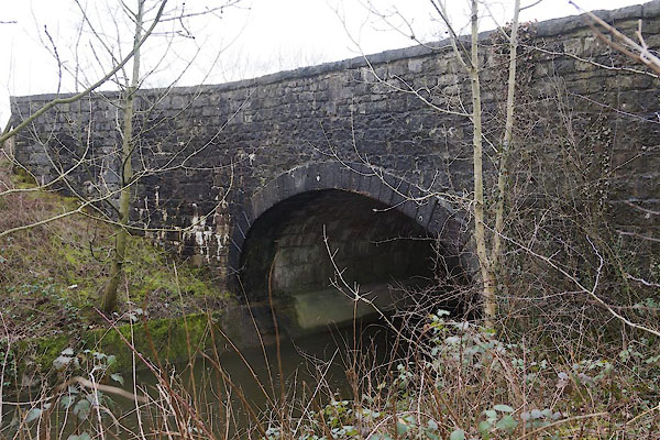 CCP86.jpg (taken 13.3.2015) |
||
|
|
||
| evidence:- | old map:- OS County Series (Wmd 42 16) placename:- Rowell Bridge |
|
| source data:- | Maps, County Series maps of Great Britain, scales 6 and 25
inches to 1 mile, published by the Ordnance Survey, Southampton,
Hampshire, from about 1863 to 1948. |
|
|
|
||
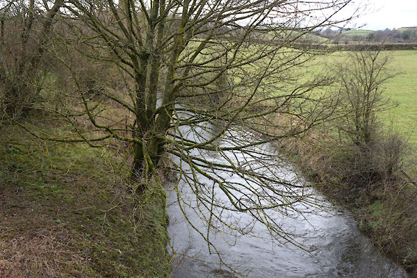 CCP87.jpg View of river. (taken 13.3.2015) |
||
|
|
||
 Lakes Guides menu.