 |
 |
|
|
|
| runs into:- |
 Sprint, River Sprint, River |
|
|
|
|
| civil parish:- |
Strickland Roger (formerly Westmorland) |
| county:- |
Cumbria |
| locality type:- |
river |
| 1Km square:- |
SD5198 (etc) |
| 10Km square:- |
SD59 |
|
|
|
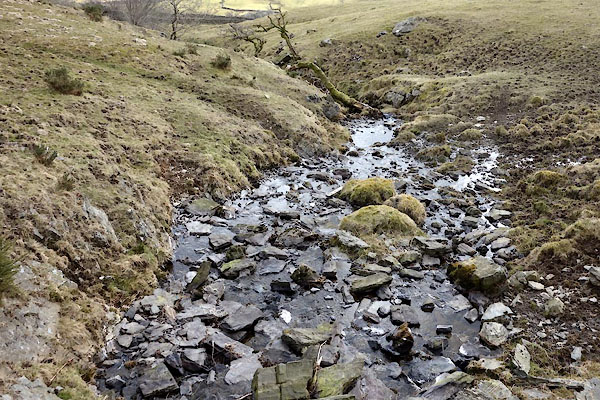
BYA23.jpg (taken 29.3.2013)
|
|
|
| evidence:- |
old map:- OS County Series (Wmd 33 8)
placename:- Roulen Beck
|
| source data:- |
Maps, County Series maps of Great Britain, scales 6 and 25
inches to 1 mile, published by the Ordnance Survey, Southampton,
Hampshire, from about 1863 to 1948.
|
|
|
| places:- |
 |
SD51679883 bridge, Strickland Roger (Strickland Roger) |
|
|
|
SD51419912 Hole Slack (Strickland Roger) |
|
|
|
SD51139924 Upper Routenbeck Tarn (Strickland Roger) |
|
