 Old Cumbria Gazetteer
 |
 |
|
| roman fort, New Hutton | ||
| Castrum Exploratorium | ||
| Coneybeds | ||
| civil parish:- | New Hutton (formerly Westmorland) | |
| civil parish:- | Kendal (formerly Westmorland) | |
| county:- | Cumbria | |
| locality type:- | roman fort | |
| coordinates:- | SD53619081 (etc) | |
| 1Km square:- | SD5390 | |
| 10Km square:- | SD59 | |
| references:- | OS County Series |
|
|
|
||
| evidence:- | old map:- OS County Series (Wmd 39 9) placename:- Coney Beds placename:- Castrum Exploratorum |
|
| source data:- | Maps, County Series maps of Great Britain, scales 6 and 25
inches to 1 mile, published by the Ordnance Survey, Southampton,
Hampshire, from about 1863 to 1948. "Coney Beds / CASTRUM EXPLORATORIUM" |
|
|
|
||
| evidence:- | old print:- placename:- Coneybeds item:- roman |
|
| source data:- | Print, uncoloured engraving, plan of roman fort at Coneybeds on Hay Fell, published
by Hudson and Nicholson, Kendal, Westmorland, 1832.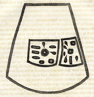 click to enlarge click to enlargePR0735.jpg On p.16 of The Annals of Kendal by Cornelius Nicholson. item:- private collection : 125.8 Image © see bottom of page |
|
|
|
||
 Lakes Guides menu.