 Old Cumbria Gazetteer
 |
 |
|
| Rock Marked X, Windermere | ||
| Rock Marked X | ||
| locality:- | Capple Howe | |
| civil parish:- | Windermere (formerly Westmorland) | |
| civil parish:- | Kentmere (formerly Westmorland) | |
| civil parish:- | Hugill (formerly Westmorland) | |
| county:- | Cumbria | |
| locality type:- | stone | |
| locality type:- | boundary stone (perhaps) | |
| locality type:- | parish boundary mark | |
| coordinates:- | NY43350294 (?) | |
| 1Km square:- | NY4302 | |
| 10Km square:- | NY40 | |
| references:- | OS County Series |
|
|
|
||
| evidence:- | old map:- OS County Series (Wmd 27 9) placename:- Rock Marked X |
|
| source data:- | Maps, County Series maps of Great Britain, scales 6 and 25
inches to 1 mile, published by the Ordnance Survey, Southampton,
Hampshire, from about 1863 to 1948. "Rock Marked X" |
|
|
|
||
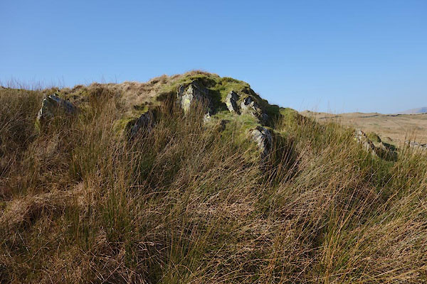 CAC13.jpg No rock marked X was found here. (taken 12.3.2014) |
||
|
|
||
 Lakes Guides menu.