 Old Cumbria Gazetteer
 |
 |
|
| Robin Hood's Chair, Ennerdale and Kinniside | ||
| Robin Hood's Chair | ||
| site name:- | Angler's Crag | |
| civil parish:- | Ennerdale and Kinniside (formerly Cumberland) | |
| county:- | Cumbria | |
| locality type:- | rocks (?) | |
| coordinates:- | NY10061513 (?) | |
| 1Km square:- | NY1015 | |
| 10Km square:- | NY11 | |
| references:- | OS County Series |
|
|
|
||
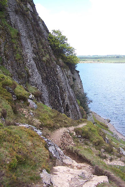 BWO11.jpg (taken 16.5.2012) |
||
| ? the right rock ? |
||
|
|
||
| evidence:- | old map:- OS County Series (Cmd 68 11) placename:- Robin Hood's Chair |
|
| source data:- | Maps, County Series maps of Great Britain, scales 6 and 25
inches to 1 mile, published by the Ordnance Survey, Southampton,
Hampshire, from about 1863 to 1948. "Robin Hood's Chair" |
|
|
|
||
| notes:- |
A rift in the rock on Crag Fell, Ennerdale. Many scores of names and initials are
cut on the stone, some dating back to the year 1700. |
|
| Baron 1925 |
||
|
|
||
 Lakes Guides menu.