


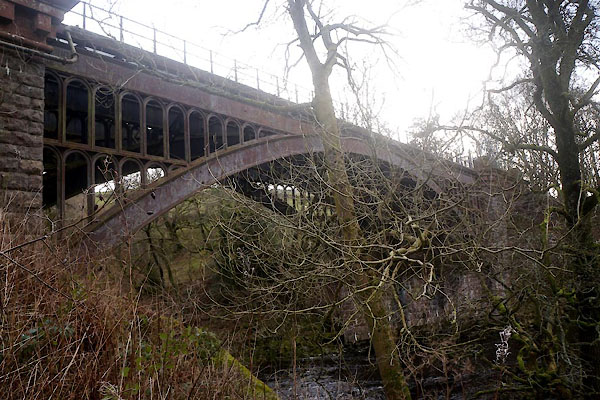
CFV66.jpg (taken 24.2.2017)
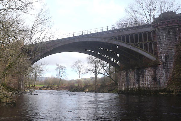
CFV64.jpg (taken 24.2.2017)
placename:- Rawthey Bridge
"Rawthey Bridge"
placename:- Rawthey Bridge
courtesy of English Heritage
"RAWTHEY BRIDGE / / BRIGFLATTS / SEDBERGH / SOUTH LAKELAND / CUMBRIA / II / 484511 / SD6430190891"
courtesy of English Heritage
"Railway bridge over River Rawthey, now redundant. 1857-61, for the Lancaster and Carlisle Railway Company. Rusticated rock-faced sandstone, wrought-iron and cast-iron. Single span. Stone abutments and piers with chamfered angles and Doric entablatures, supporting 4 parallel segmental iron arches which have arcaded spandrels. Former iron parapet with ball-joints now missing."
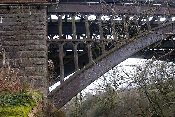
CFV67.jpg (taken 24.2.2017)
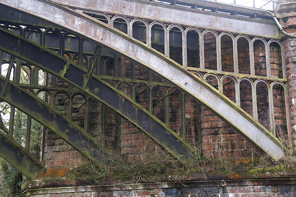
CFV68.jpg (taken 24.2.2017)
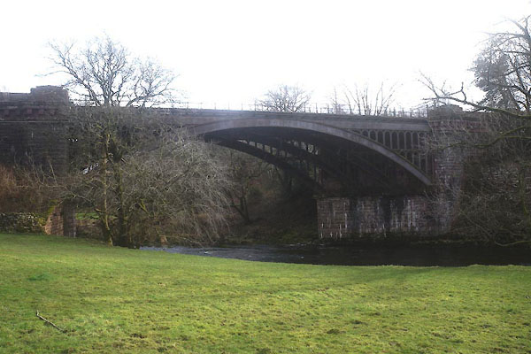
CFV65.jpg (taken 24.2.2017)
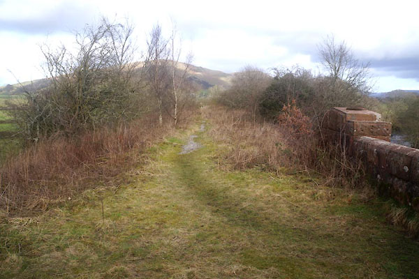
CFV69.jpg View N.
(taken 24.2.2017)
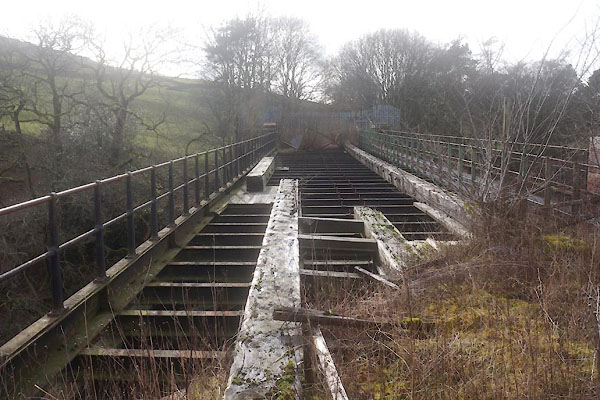
CFV70.jpg View S.
(taken 24.2.2017)

 Lakes Guides menu.