 Old Cumbria Gazetteer
 |
 |
|
| railway junction, Kirkby Ireleth | ||
| site name:- | Furness Railway | |
| civil parish:- | Kirkby Ireleth (formerly Lancashire) | |
| county:- | Cumbria | |
| locality type:- | railway junction | |
| coordinates:- | SD22728266 | |
| 1Km square:- | SD2282 | |
| 10Km square:- | SD28 | |
|
|
||
| evidence:- | old map:- OS County Series (Lan 11 5) item:- railway signal |
|
| source data:- | Maps, County Series maps of Great Britain, scales 6 and 25
inches to 1 mile, published by the Ordnance Survey, Southampton,
Hampshire, from about 1863 to 1948.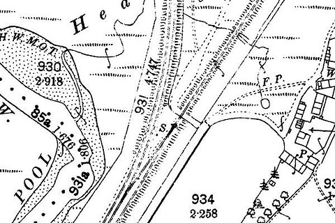 click to enlarge click to enlargeCSRY0123.jpg junction for tramroad to the group of Kirkby Slate Quarries "S.P." |
|
|
|
||
 Lakes Guides menu.