 Old Cumbria Gazetteer
 |
 |
|
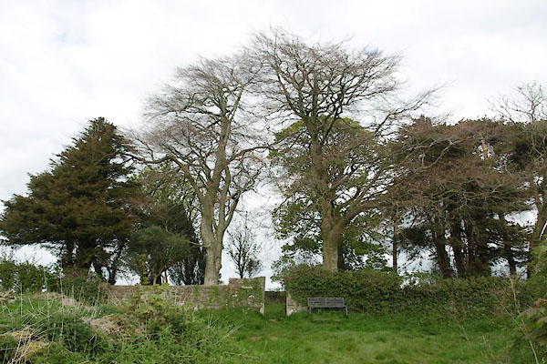
| quaker burial ground, Little Broughton | ||
| locality:- | Little Broughton | |
| civil parish:- | Broughton (formerly Cumberland) | |
| county:- | Cumbria | |
| locality type:- | burial ground | |
| locality type:- | quaker burial ground | |
| coordinates:- | NY08123190 (?) | |
| 1Km square:- | NY0831 | |
| 10Km square:- | NY03 | |
| references:- | OS County Series |
|
|
|
||
 BWJ01.jpg (taken 4.5.2012) |
||
|
|
||
| evidence:- | old map:- OS County Series (Cmd 54 2) |
|
| source data:- | Maps, County Series maps of Great Britain, scales 6 and 25
inches to 1 mile, published by the Ordnance Survey, Southampton,
Hampshire, from about 1863 to 1948. "Friends' Burial Ground" |
|
|
|
||
 BWJ02.jpg (taken 4.5.2012)  BWJ03.jpg (taken 4.5.2012) |
||
|
|
||
 Lakes Guides menu.