 Old Cumbria Gazetteer
 |
 |
|
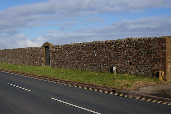
| quaker burial ground, Allonby | ||
| locality:- | Allonby | |
| civil parish:- | Allonby (formerly Cumberland) | |
| county:- | Cumbria | |
| locality type:- | burial ground | |
| locality type:- | quaker burial ground | |
| coordinates:- | NY08144362 | |
| 1Km square:- | NY0843 | |
| 10Km square:- | NY04 | |
| references:- | OS County Series |
|
|
|
||
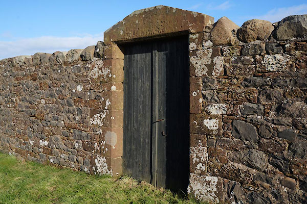 BZV14.jpg (taken 7.2.2014) 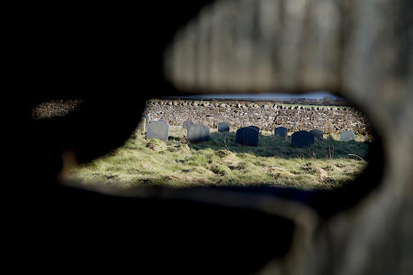 BZV13.jpg (taken 7.2.2014) |
||
|
|
||
| evidence:- | old map:- OS County Series (Cmd 35 2) |
|
| source data:- | Maps, County Series maps of Great Britain, scales 6 and 25
inches to 1 mile, published by the Ordnance Survey, Southampton,
Hampshire, from about 1863 to 1948. "Friends Burial Ground" |
|
|
|
||
 BZV12.jpg (taken 7.2.2014) |
||
|
|
||
 Lakes Guides menu.