 Old Cumbria Gazetteer
 |
 |
|
| Priest Bridge, Lower Holker | ||
| Priest Bridge | ||
| site name:- | Eea, River | |
| civil parish:- | Lower Holker (formerly Lancashire) | |
| civil parish:- | Lower Allithwaite (formerly Lancashire) | |
| county:- | Cumbria | |
| locality type:- | bridge | |
| coordinates:- | SD36807719 | |
| 1Km square:- | SD3677 | |
| 10Km square:- | SD37 | |
|
|
||
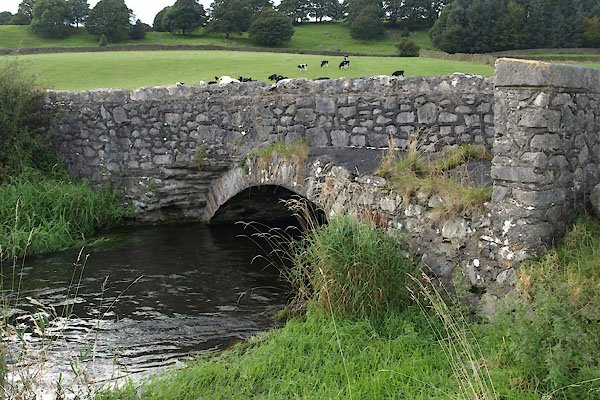 BXK12.jpg (taken 21.9.2012) |
||
|
|
||
| evidence:- | old map:- OS County Series (Lan 17 6) placename:- Priest Bridge |
|
| source data:- | Maps, County Series maps of Great Britain, scales 6 and 25
inches to 1 mile, published by the Ordnance Survey, Southampton,
Hampshire, from about 1863 to 1948. "Priest Bridge" |
|
|
|
||
| evidence:- | database:- Listed Buildings 2010 placename:- Priest Bridge |
|
| source data:- | courtesy of English Heritage "PRIEST BRIDGE / / / LOWER ALLITHWAITE / SOUTH LAKELAND / CUMBRIA / II / 76953 / SD3680777197" |
|
| source data:- | courtesy of English Heritage "Bridge. Date uncertain, probably C17 or C18, widened in 1780s; C20 parapets. Stone rubble with dressed voussoirs. Segmental stem arch. Coped parapets, that to south-east side is corbelled out to left and recessed to right, in order to straighten road." |
|
|
|
||
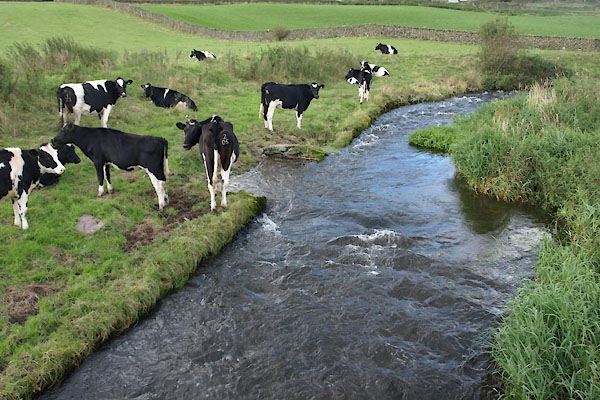 BXK13.jpg View of river. notice the cow drinking place. (taken 21.9.2012) |
||
|
|
||
 Lakes Guides menu.