 Old Cumbria Gazetteer
 |
 |
|
| Milnthorpe Bridge, Milnthorpe | ||
| Milnthorpe Bridge | ||
| site name:- | Bela, River | |
| civil parish:- | Milnthorpe (formerly Westmorland) | |
| civil parish:- | Beetham (formerly Westmorland) | |
| county:- | Cumbria | |
| locality type:- | bridge | |
| locality type:- | boundary feature | |
| locality type:- | parish boundary feature | |
| coordinates:- | SD48928132 | |
| 1Km square:- | SD4881 | |
| 10Km square:- | SD48 | |
|
|
||
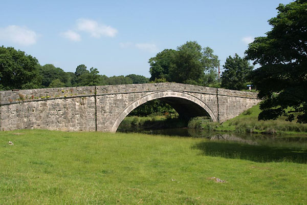 BYU21.jpg (taken 11.7.2013) 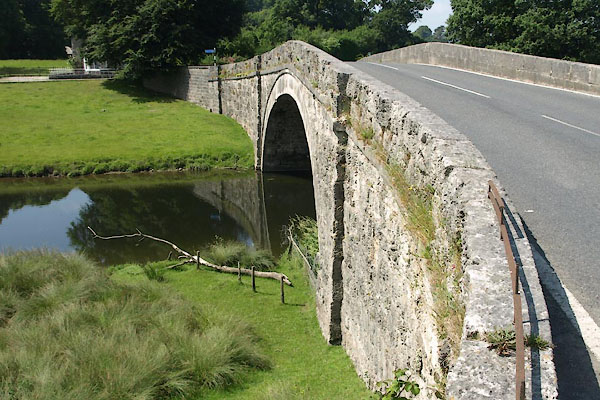 BYU20.jpg (taken 11.7.2013) |
||
|
|
||
| evidence:- | old map:- OS County Series (Wmd 46 3) placename:- Milnthorpe Bridge |
|
| source data:- | Maps, County Series maps of Great Britain, scales 6 and 25
inches to 1 mile, published by the Ordnance Survey, Southampton,
Hampshire, from about 1863 to 1948. |
|
|
|
||
| evidence:- | old map:- Jefferys 1770 (Wmd) |
|
| source data:- | Map, 4 sheets, The County of Westmoreland, scale 1 inch to 1
mile, surveyed 1768, and engraved and published by Thomas
Jefferys, London, 1770.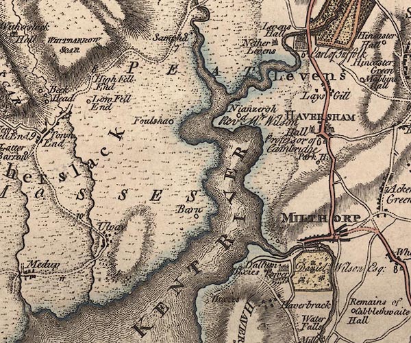 J5SD48SE.jpg double line, road, across a stream; bridge item:- National Library of Scotland : EME.s.47 Image © National Library of Scotland |
|
|
|
||
| evidence:- | database:- Listed Buildings 2010 placename:- Milnthorpe Bridge |
|
| source data:- | courtesy of English Heritage "MILNTHORPE BRIDGE / / B5282 / MILNTHORPE / SOUTH LAKELAND / CUMBRIA / II / 75554 / SD4891781323" |
|
| source data:- | courtesy of English Heritage "MILNTHORPE BRIDGE OVER RIVER BELA / / B5282 / BEETHAM / SOUTH LAKELAND / CUMBRIA / II / 76566 / SD4891881323" |
|
| source data:- | courtesy of English Heritage "Bridge. 1813 to take new Turnpike road from Milnthorpe over River Bela. Squared coursed limestone with ashlar dressings. Single segmental arch flanked by pilasters; sloping parapets with string at carriageway level and pilasters to each end. Landscape value. Further information and map of routes of both old and new roads: CURWEN J. F. History of Heversham with Milnthorpe, pub. Titus Wilson 1930, p74 and CURWEN, J F Records of Kendal Volume III, pub. Titus Wilson 1926, p228." |
|
|
|
||
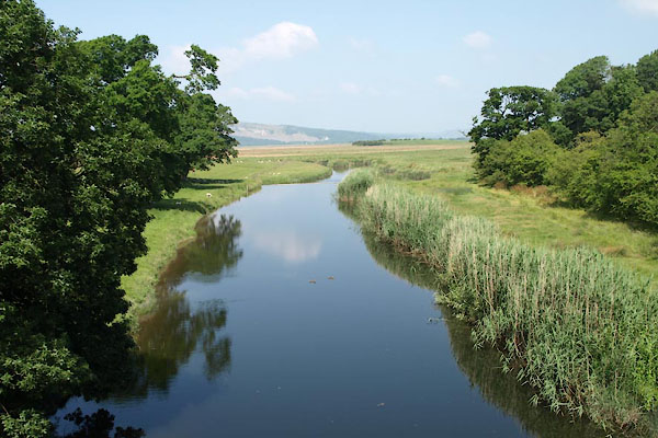 BYU22.jpg View of river. Down from Milnthorpe Bridge, (taken 11.7.2013) 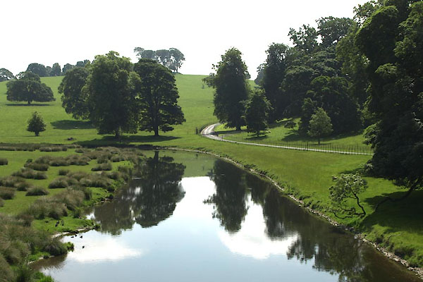 BYU23.jpg View of river. Up from Milnthorpe Bridge, (taken 11.7.2013) |
||
|
|
||
 Lakes Guides menu.