button to main menu  Old Cumbria Gazetteer
milestone, Nether Denton (2)
site name:-   road, Brampton to Haltwhistle
civil parish:-   Nether Denton (formerly Cumberland)
county:-   Cumbria
locality type:-   milestone
coordinates:-   NY59576309
1Km square:-   NY5963
10Km square:-   NY56

evidence:-   old map:- OS County Series (Cmd 18 3) 
source data:-   Maps, County Series maps of Great Britain, scales 6 and 25 inches to 1 mile, published by the Ordnance Survey, Southampton, Hampshire, from about 1863 to 1948.
"M.S. Newcastle .. 42 Carlisle .. 14"
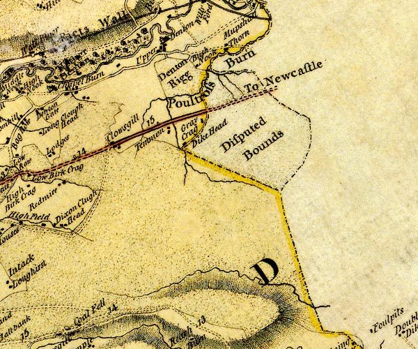
evidence:-   old map:- Donald 1774 (Cmd) 
source data:-   Map, hand coloured engraving, 3x2 sheets, The County of Cumberland, scale about 1 inch to 1 mile, by Thomas Donald, engraved and published by Joseph Hodskinson, 29 Arundel Street, Strand, London, 1774.
image
D4NY66SW.jpg
"14"
milestone; from Carlisle towards Newcastle 
item:-  Carlisle Library : Map 2
Image © Carlisle Library

evidence:-   database:- Listed Buildings 2010
source data:-  
courtesy of English Heritage
"MILESTONE EAST OF LOW ROW AT NGR NY 59580 63080 / / A69 / NETHER DENTON / CARLISLE / CUMBRIA / II / 78073 / NY5958063080"
source data:-  
courtesy of English Heritage
"Milestone. Probably 1758 for the Carlisle-Newcastle Military Road. Sandstone, cast-iron plates. Chamfered stone to give 2 faces in direction of traffic, one face with cast plate TO CARLISLE 14 MILES, other face TO NEWCASTLE 42 MILES, both in 4 lines. Whitewashed over and lettering picked out in black. This became the Carlisle-Temon Turnpike in 1811. Each milestone is clearly drawn on Hodgskinson &Donald's map of Cumberland and Westmorland, surveyed 1770."

button to lakes menu  Lakes Guides menu.