 Old Cumbria Gazetteer
 |
 |
|
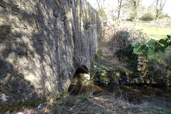
| Levy Beck Bridge, Ulverston | ||
| Levy Beck Bridge | ||
| site name:- | Levy Beck | |
| Street:- | Springfield Road | |
| locality:- | Ulverston | |
| civil parish:- | Ulverston (formerly Lancashire) | |
| county:- | Cumbria | |
| locality type:- | bridge | |
| coordinates:- | SD28577729 | |
| 1Km square:- | SD2877 | |
| 10Km square:- | SD27 | |
|
|
||
 CCR48.jpg (taken 27.3.2015) 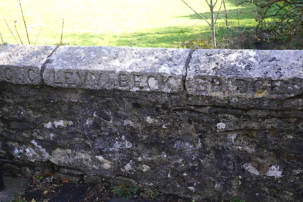 CCR49.jpg Plaque:- "[ ] C.C. LEVY BECK BRIDGE" (taken 27.3.2015) |
||
|
|
||
| evidence:- | old map:- OS County Series (Lan 16 7) placename:- Levy Beck Bridge |
|
| source data:- | Maps, County Series maps of Great Britain, scales 6 and 25
inches to 1 mile, published by the Ordnance Survey, Southampton,
Hampshire, from about 1863 to 1948. |
|
|
|
||
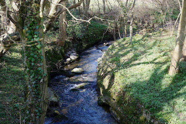 CCR51.jpg View of river. (taken 27.3.2015) |
||
|
|
||
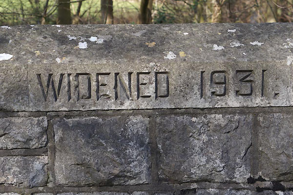 CCR50.jpg Plaque:- "WIDENED 1931." (taken 27.3.2015) |
||
|
|
||
 Lakes Guides menu.