 |
 |
   |
|
|
|
Lambrigg Crossing |
| site name:- |
Lancaster and Carlisle Railway |
| locality:- |
Cross Houses (near) |
| civil parish:- |
Lambrigg (formerly Westmorland) |
| county:- |
Cumbria |
| locality type:- |
level crossing (gone) |
| locality type:- |
signal box (gone) |
| coordinates:- |
SD57029585 |
| 1Km square:- |
SD5795 |
| 10Km square:- |
SD59 |
|
|
|
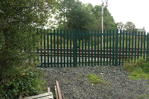
BRS02.jpg (taken 9.10.2009)
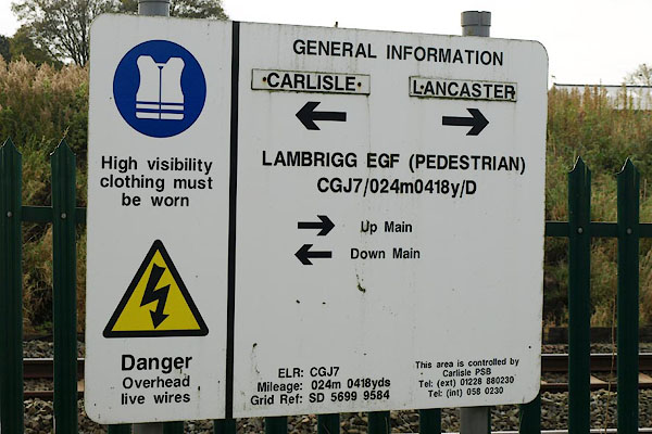
BRS06.jpg Notice:-
"... LAMBRIGG EGF (PEDESTRIAN)" (taken 9.10.2009)
|
|
|
|
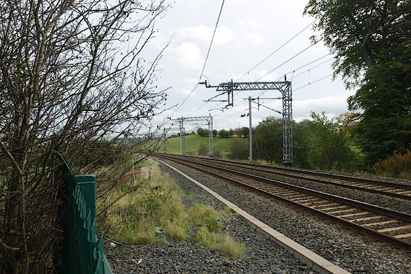
BRS03.jpg View N.
(taken 9.10.2009)
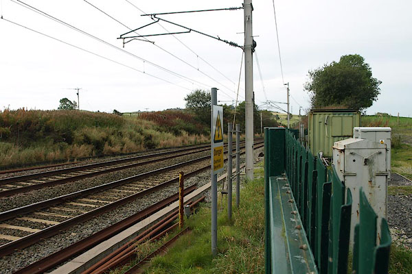
BRS04.jpg View S.
(taken 9.10.2009)
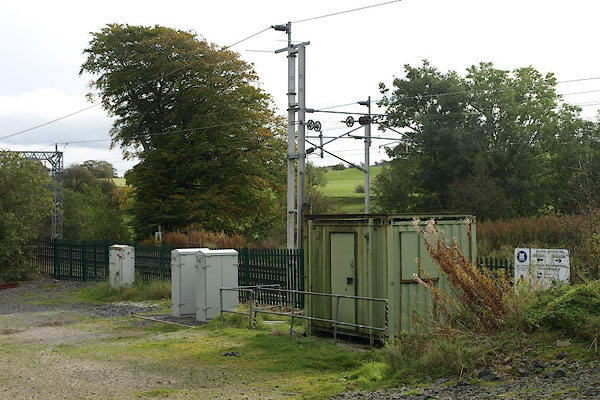
BRS05.jpg lineside 'hut' etc at the crossing.
(taken 9.10.2009)
|
|
|
notes:-
|
The crossing was closed in the 1970s, thus closing the minor road here. In compensation
for closing a public right of way the railway agreed to build a new road, which goes
under Docker Viaduct. The OS County Series map shows the crossing, and shows no road
under the viaduct.
|
|
Biddle, Gordon: 1990: Railway Surveyors, The: Ian Allan (London) &British Railways
Property Board:: ISBN 0 7110 1954 1; p.248
OS County Series 1890s
|
|
|


 Lakes Guides menu.