 Old Cumbria Gazetteer
 |
 |
|
| Kirkfell Tarn, Nether Wasdale | ||
| Kirkfell Tarn | ||
| site name:- | Kirk Fell | |
| civil parish:- | Nether Wasdale (formerly Cumberland) | |
| county:- | Cumbria | |
| locality type:- | tarn | |
| coordinates:- | NY19761061 (about) | |
| 1Km square:- | NY1910 | |
| 10Km square:- | NY11 | |
| altitude:- | 2466 feet | |
| altitude:- | 752m | |
| SummaryText:- | pair of tarns | |
|
|
||
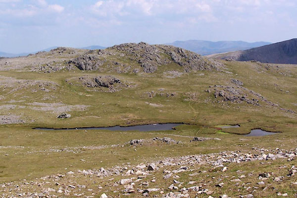 BUX36.jpg (taken 4.7.2011) 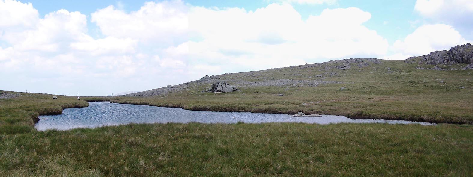 Click to enlarge BUX37.jpg (taken 4.7.2011) |
||
|
|
||
| evidence:- | old map:- OS County Series (Cmd 74 7) placename:- Kirkfell Tarn |
|
| source data:- | Maps, County Series maps of Great Britain, scales 6 and 25
inches to 1 mile, published by the Ordnance Survey, Southampton,
Hampshire, from about 1863 to 1948. |
|
|
|
||
 Lakes Guides menu.