 Old Cumbria Gazetteer
 |
 |
|
| Kelly Hall Tarn, Torver | ||
| Kelly Hall Tarn | ||
| locality:- | Torver Back Common | |
| civil parish:- | Torver (formerly Lancashire) | |
| county:- | Cumbria | |
| locality type:- | tarn | |
| coordinates:- | SD28869327 (etc) | |
| 1Km square:- | SD2893 | |
| 10Km square:- | SD29 | |
| altitude:- | 390 feet | |
| altitude:- | 119m | |
|
|
||
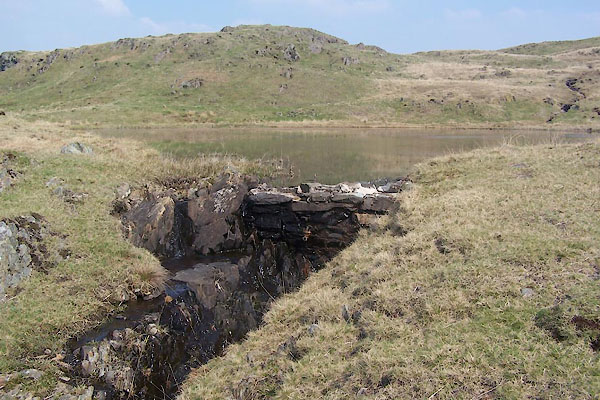 BUJ07.jpg (taken 19.4.2011) 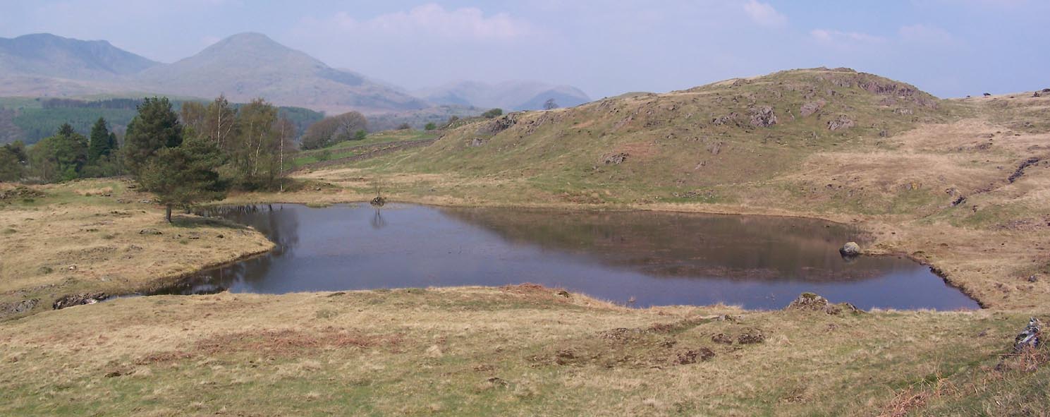 Click to enlarge BUJ09.jpg (taken 19.4.2011) |
||
|
|
||
| evidence:- | old map:- OS County Series (Lan 4 15) placename:- Kelly Hall Tarn |
|
| source data:- | Maps, County Series maps of Great Britain, scales 6 and 25
inches to 1 mile, published by the Ordnance Survey, Southampton,
Hampshire, from about 1863 to 1948. |
|
|
|
||
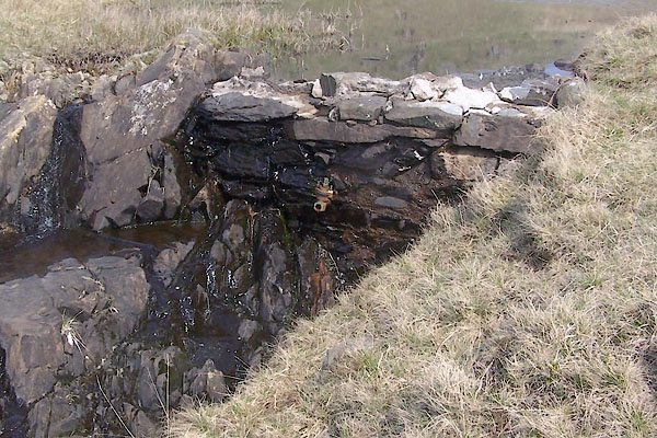 BUJ08.jpg Dam and outlet. (taken 19.4.2011) |
||
|
|
||
 Lakes Guides menu.