 Old Cumbria Gazetteer
 |
 |
|
| Joe Bank's Fold, Above Derwent | ||
| Joe Bank's Fold | ||
| civil parish:- | Above Derwent (formerly Cumberland) | |
| county:- | Cumbria | |
| locality type:- | sheepfold | |
| coordinates:- | NY23861661 (?) | |
| 1Km square:- | NY2316 | |
| 10Km square:- | NY21 | |
| references:- | OS County Series |
|
|
|
||
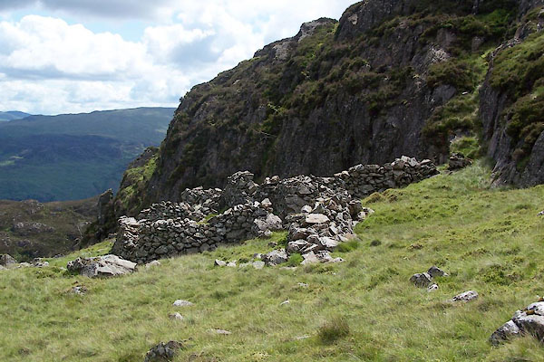 BUW22.jpg (taken 29.6.2011) 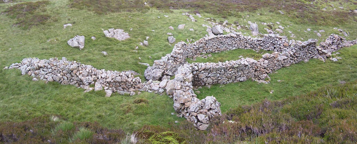 Click to enlarge BUW23.jpg (taken 29.6.2011) |
||
|
|
||
| evidence:- | old map:- OS County Series (Cmd 70 5) placename:- Joe Bank's Fold |
|
| source data:- | Maps, County Series maps of Great Britain, scales 6 and 25
inches to 1 mile, published by the Ordnance Survey, Southampton,
Hampshire, from about 1863 to 1948. "Joe Bank's Fold" |
|
|
|
||
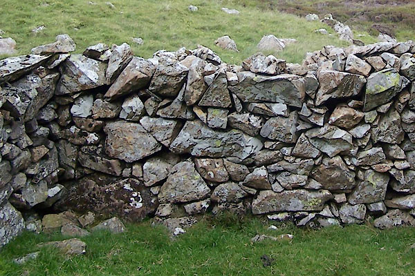 BUW24.jpg Walling. (taken 29.6.2011) 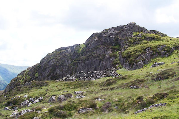 BUW25.jpg (taken 29.6.2011) |
||
|
|
||
 Lakes Guides menu.