 |
 |
   |
|
|
|
Holme Fold |
| locality:- |
Langdale Fell |
| civil parish:- |
Orton S (formerly Westmorland) |
| county:- |
Cumbria |
| locality type:- |
sheepfold |
| locality type:- |
reservoir |
| coordinates:- |
NY64700194 |
| 1Km square:- |
NY6401 |
| 10Km square:- |
NY60 |
| references:- |
OS County Series
|
|
|
MN photo:-
|
Reused as the enclosure for a water cistern, the collection point can be seen in the
stream, and an overflow seen on the downstream face.
|
|
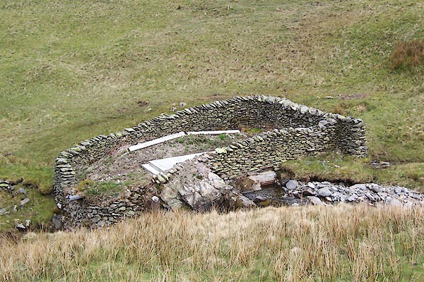
BWJ57.jpg (taken 5.5.2012)
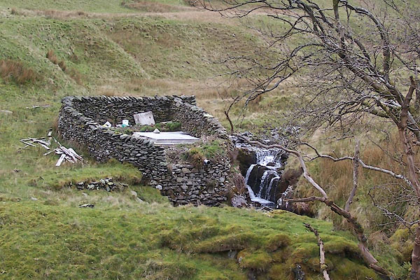
BWJ58.jpg (taken 5.5.2012)
|
|
|
| evidence:- |
old map:- OS County Series (Wmd 29)
placename:- Holme Fold
|
| source data:- |
Maps, County Series maps of Great Britain, scales 6 and 25
inches to 1 mile, published by the Ordnance Survey, Southampton,
Hampshire, from about 1863 to 1948.
"Holme Fold"
|
|
|
MN photo:-
|
Markers for the water and stop valve can be found down the Churn Gill. The water system
was installed in the 1930s.
|
|
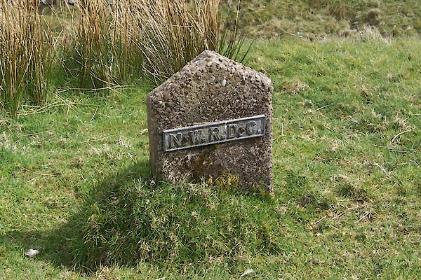
BWJ59.jpg Marker:-
"N.W.R.D.C." (taken 5.5.2012)
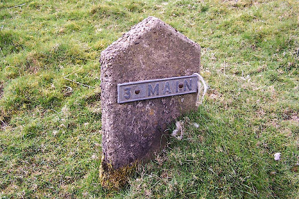
BWJ60.jpg Marker:-
"3[inch] MAIN" (taken 5.5.2012)
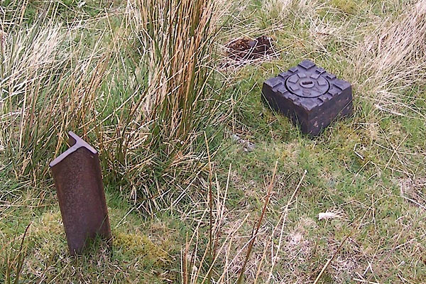
BWJ61.jpg Marker and stop valve.
(taken 5.5.2012)
|
|
Higher up Churngill Beck is another weir and take off point, and, presumably, a cistern.
|
|
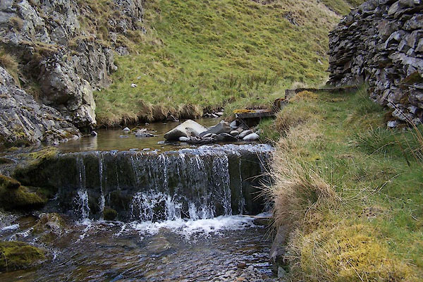
BWJ64.jpg (taken 5.5.2012)
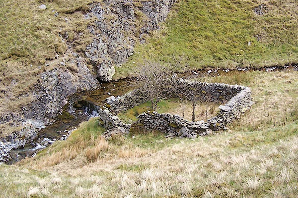
BWJ63.jpg (taken 5.5.2012)
|
|
|


 Lakes Guides menu.