 Old Cumbria Gazetteer
 |
 |
|
| Hobdale Fold, Sedbergh | ||
| Hobdale Fold | ||
| locality:- | Hobdale Gill | |
| locality:- | Brant Fell | |
| civil parish:- | Sedbergh (formerly Yorkshire) | |
| county:- | Cumbria | |
| locality type:- | sheepfold | |
| coordinates:- | SD67619464 | |
| 1Km square:- | SD6794 | |
| 10Km square:- | SD69 | |
|
|
||
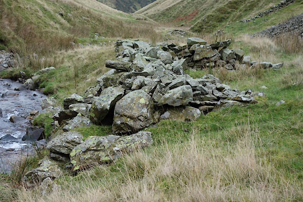 BZR90.jpg (taken 22.11.2013) 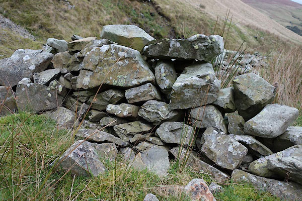 BZR91.jpg Walling. (taken 22.11.2013) |
||
|
|
||
| evidence:- | old map:- OS County series (Yrk 48) placename:- Hobdale Fold |
|
| source data:- | "Hobdale Fold" |
|
|
|
||
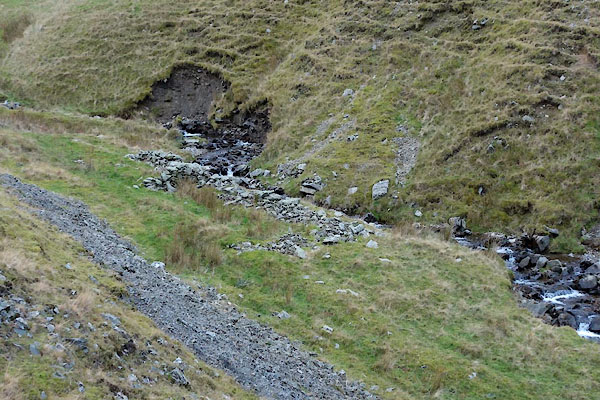 BZR89.jpg (taken 22.11.2013) |
||
|
|
||
 Lakes Guides menu.