 Old Cumbria Gazetteer
 |
 |
|
| Great Wygill Bridge, Kaber | ||
| Great Wygill Bridge | ||
| site name:- | Great Wygill | |
| civil parish:- | Kaber (formerly Westmorland) | |
| county:- | Cumbria | |
| locality type:- | bridge | |
| coordinates:- | NY88370808 | |
| 1Km square:- | NY8808 | |
| 10Km square:- | NY80 | |
|
|
||
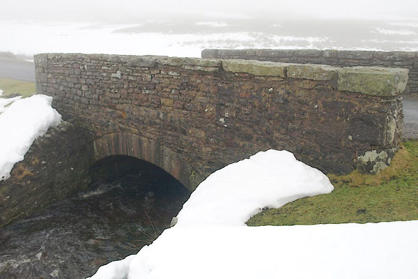 BRZ96.jpg (taken 22.1.2010) |
||
|
|
||
| evidence:- | old map:- OS County Series (Wmd 24) placename:- Middle Tongue Bridge |
|
| source data:- | Maps, County Series maps of Great Britain, scales 6 and 25
inches to 1 mile, published by the Ordnance Survey, Southampton,
Hampshire, from about 1863 to 1948. "Middle Tongue Br." |
|
|
|
||
 BRZ97.jpg View of river. Under the snow, at Geat Wygill Bridge, (taken 22.1.2010) |
||
|
|
||
 Lakes Guides menu.