 Old Cumbria Gazetteer
 |
 |
|
| Gilts Bridge, Crosby Ravensworth | ||
| Gilts Bridge | ||
| site name:- | Ravens' Gill | |
| Street:- | Gilts Lane | |
| civil parish:- | Crosby Ravensworth (formerly Westmorland) | |
| county:- | Cumbria | |
| locality type:- | bridge | |
| coordinates:- | NY62701204 | |
| 1Km square:- | NY6212 | |
| 10Km square:- | NY61 | |
|
|
||
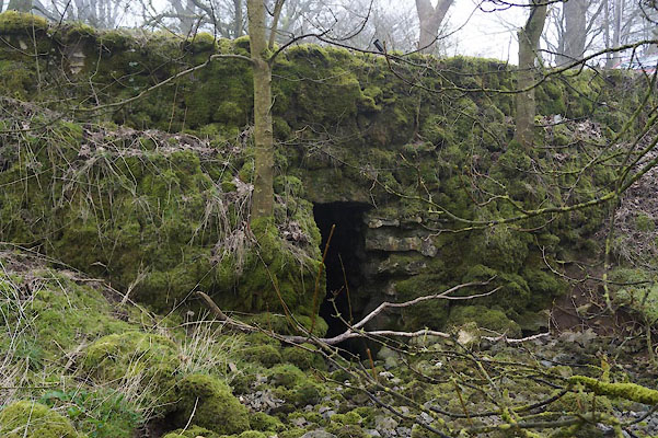 CAB63.jpg (taken 14.3.2014) 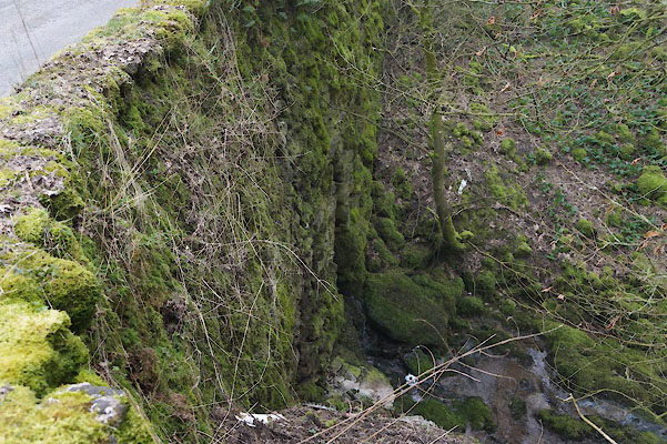 CAB62.jpg (taken 14.3.2014) |
||
|
|
||
| evidence:- | old map:- OS County Series (Wmd 21 8) placename:- Gilts Bridge |
|
| source data:- | Maps, County Series maps of Great Britain, scales 6 and 25
inches to 1 mile, published by the Ordnance Survey, Southampton,
Hampshire, from about 1863 to 1948. |
|
|
|
||
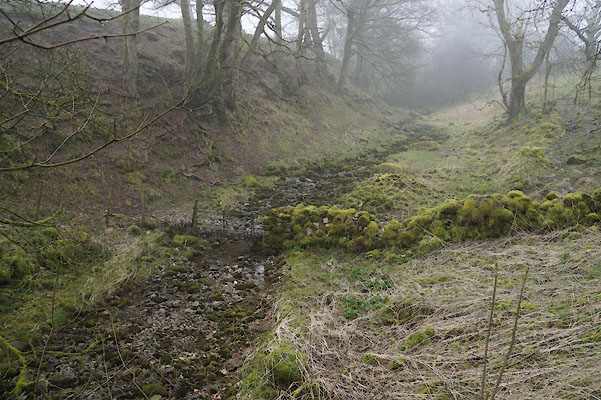 CAB64.jpg View of river. (taken 14.3.2014) |
||
|
|
||
 Lakes Guides menu.