 Old Cumbria Gazetteer
 |
 |
|
| Gillbeck Bridge, Ravenstonedale | ||
| Gillbeck Bridge | ||
| site name:- | Doven Gill | |
| locality:- | Fell End | |
| civil parish:- | Ravenstonedale (formerly Westmorland) | |
| county:- | Cumbria | |
| locality type:- | bridge | |
| coordinates:- | SD72859930 | |
| 1Km square:- | SD7299 | |
| 10Km square:- | SD79 | |
|
|
||
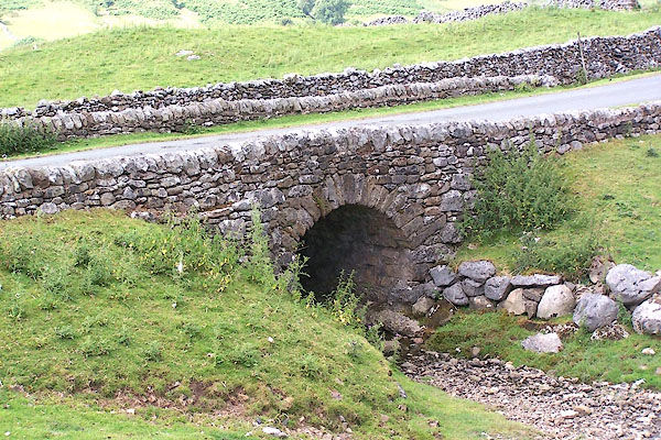 BMK72.jpg (taken 21.7.2006) |
||
|
|
||
| evidence:- | old map:- OS County Series (Wmd 36 1) placename:- Gillbeck Bridge |
|
| source data:- | Maps, County Series maps of Great Britain, scales 6 and 25
inches to 1 mile, published by the Ordnance Survey, Southampton,
Hampshire, from about 1863 to 1948. "Gillbeck Bridge" |
|
|
|
||
 Lakes Guides menu.