 Old Cumbria Gazetteer
 |
 |
|
| Fells End Quarry, Mallerstang | ||
| Fells End Quarry | ||
| locality:- | Fells End | |
| civil parish:- | Mallerstang (formerly Westmorland) | |
| county:- | Cumbria | |
| locality type:- | quarry | |
| coordinates:- | NY80130369 | |
| 1Km square:- | NY8003 | |
| 10Km square:- | NY80 | |
| references:- | OS County Series |
|
|
|
||
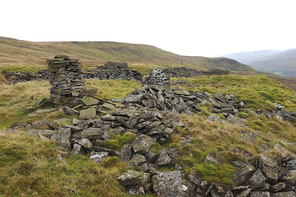 CGW98.jpg (taken 8.11.2017) |
||
|
|
||
| evidence:- | old map:- OS County Series (Wmd 30) placename:- Fells End Quarry |
|
| source data:- | Maps, County Series maps of Great Britain, scales 6 and 25
inches to 1 mile, published by the Ordnance Survey, Southampton,
Hampshire, from about 1863 to 1948. "Fells End Quarry" |
|
|
|
||
 CGW90.jpg Enclosure, (taken 8.11.2017)  CGW91.jpg Enclosure, (taken 8.11.2017)  CGW92.jpg Enclosure, (taken 8.11.2017)  CGW93.jpg Building, (taken 8.11.2017)  CGW94.jpg Building, (taken 8.11.2017)  CGW95.jpg Building, (taken 8.11.2017)  CGW96.jpg Structure. (taken 8.11.2017)  CGW97.jpg Wall. (taken 8.11.2017)  CGW99.jpg Structure. (taken 8.11.2017) |
||
|
|
||
 Lakes Guides menu.