 |
 |
|
|
|
|
Doleshole |
|
Doles Hole |
| locality:- |
Tindale |
| civil parish:- |
Farlam (formerly Cumberland) |
| county:- |
Cumbria |
| locality type:- |
locality |
| locality type:- |
buildings |
| coordinates:- |
NY61755932 (etc) |
| 1Km square:- |
NY6159 |
| 10Km square:- |
NY65 |
|
|
| evidence:- |
old map:- OS County Series (Cmd 18 12)
placename:- Doles Hole
|
| source data:- |
Maps, County Series maps of Great Britain, scales 6 and 25
inches to 1 mile, published by the Ordnance Survey, Southampton,
Hampshire, from about 1863 to 1948.
|
|
|
| places:- |
 |
NY61805933 Old Chapel, The (Midgeholme) |
|
|
 |
NY62075934 Riggfoot Farm (Farlam) |
|
|
|
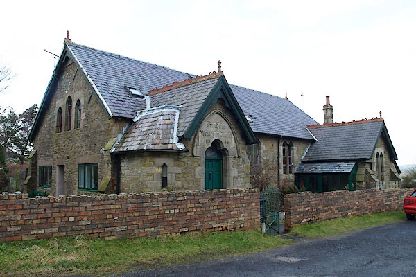
NY61755928 school, Tindale (Farlam) |
|
