 Old Cumbria Gazetteer
 |
 |
|
| Danny Bridge, Sedbergh | ||
| Danny Bridge | ||
| site name:- | Clough River | |
| civil parish:- | Sedbergh (formerly Yorkshire) | |
| county:- | Cumbria | |
| locality type:- | bridge | |
| coordinates:- | SD69819128 | |
| 1Km square:- | SD6991 | |
| 10Km square:- | SD69 | |
|
|
||
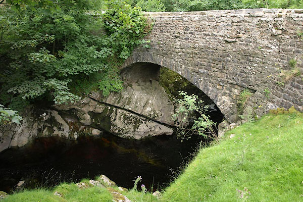 BWX74.jpg (taken 22.7.2012) |
||
|
|
||
| evidence:- | old map:- OS County Series (Yrk 64 1) placename:- Danny Bridge |
|
| source data:- | Maps, County Series maps of Great Britain, scales 6 and 25
inches to 1 mile, published by the Ordnance Survey, Southampton,
Hampshire, from about 1863 to 1948. |
|
|
|
||
| evidence:- | database:- Listed Buildings 2010 placename:- Danny Bridge |
|
| source data:- | courtesy of English Heritage "DANNY BRIDGE / / HAWES ROAD / SEDBERGH / SOUTH LAKELAND / CUMBRIA / II / 484563 / SD6982891279" |
|
| source data:- | courtesy of English Heritage "Public road bridge over River Clough. Probably C18. Coursed sandstone rubble. Low segmental arch springing from natural rock formation, with rubble voussoirs; flat deck protected by parapets with flat coping stones, splayed outwards slightly at both ends." |
|
|
|
||
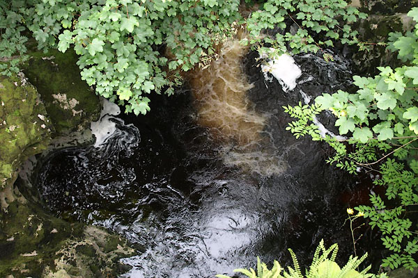 BWX75.jpg View of river. Above Danny Bridge, (taken 22.7.2012) 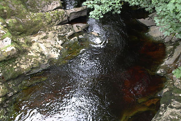 BWX76.jpg View of river. Below Danny Bridge, (taken 22.7.2012) |
||
|
|
||
 Lakes Guides menu.