 Old Cumbria Gazetteer
 |
 |
|
| Coatsforth, Asby | ||
| Coatsforth | ||
| Asby Coatsforth | ||
| civil parish:- | Asby (formerly Westmorland) | |
| county:- | Cumbria | |
| locality type:- | locality | |
| locality type:- | township | |
| coordinates:- | NY695124 (etc, roughly) | |
| 1Km square:- | NY6912 | |
| 10Km square:- | NY61 | |
|
|
||
| evidence:- | old map:- OS County Series placename:- Coatsforth |
|
| source data:- | Maps, County Series maps of Great Britain, scales 6 and 25
inches to 1 mile, published by the Ordnance Survey, Southampton,
Hampshire, from about 1863 to 1948. An area is labelled:- "ASBY COATSFORTH / Acres 2258.700 (including 16.865 detd.portions)" |
|
|
|
||
| evidence:- | hearth tax returns:- Hearth Tax 1675 placename:- Asby cottforth |
|
| source data:- | Records, hearth tax survey returns, Westmorland, 1674/75. "Asby cottforth" |
|
|
|
||
| evidence:- | old map:- Bowen and Kitchin 1760 placename:- Asby Coltsford |
|
| source data:- | Map, hand coloured engraving, A New Map of the Counties of
Cumberland and Westmoreland Divided into their Respective Wards,
scale about 4 miles to 1 inch, by Emanuel Bowen and Thomas
Kitchin et al, published by T Bowles, Robert Sayer, and John
Bowles, London, 1760.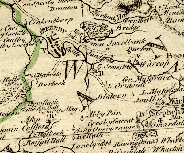 BO18NY61.jpg "Asby Coltsford" no symbol item:- Armitt Library : 2008.14.10 Image © see bottom of page |
|
|
|
||
| evidence:- | old map:- Garnett 1850s-60s H placename:- Coatsforth |
|
| source data:- | Map of the English Lakes, in Cumberland, Westmorland and
Lancashire, scale about 3.5 miles to 1 inch, published by John
Garnett, Windermere, Westmorland, 1850s-60s.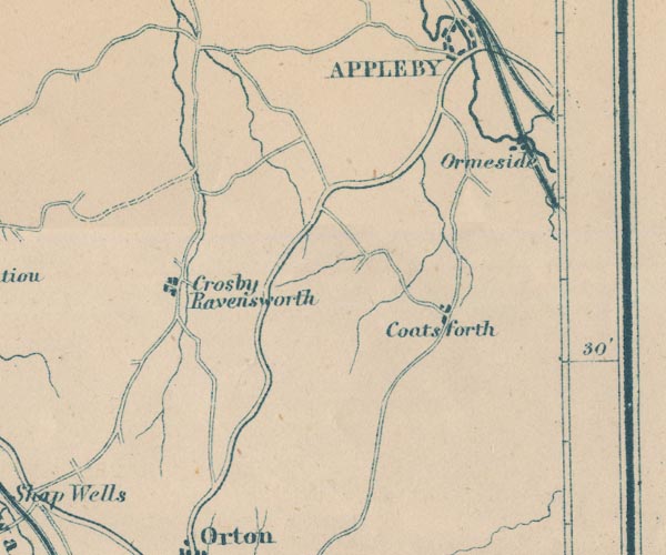 GAR2NY61.jpg "Coatsforth" blocks, settlement item:- JandMN : 82.1 Image © see bottom of page |
|
|
|
||
 Lakes Guides menu.