 Old Cumbria Gazetteer
 |
 |
|
| Castlenook Mine, Above Derwent | ||
| Castlenook Mine | ||
| locality:- | Castlenook | |
| locality:- | Newlands Valley | |
| civil parish:- | Above Derwent (formerly Cumberland) | |
| county:- | Cumbria | |
| locality type:- | lead mine | |
| locality type:- | mine | |
| coordinates:- | NY22741702 | |
| 1Km square:- | NY2217 | |
| 10Km square:- | NY21 | |
|
|
||
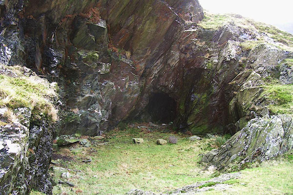 BOK72.jpg (taken 19.1.2008) 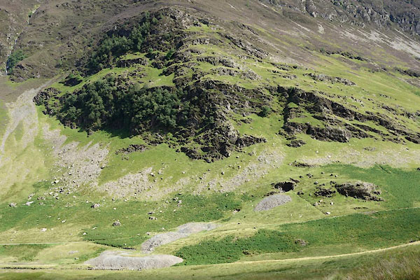 CBI69.jpg (taken 4.8.2014) |
||
|
|
||
| evidence:- | old map:- OS County Series (Cmd 69 8) placename:- Castlenook Mine |
|
| source data:- | Maps, County Series maps of Great Britain, scales 6 and 25
inches to 1 mile, published by the Ordnance Survey, Southampton,
Hampshire, from about 1863 to 1948. |
|
|
|
||
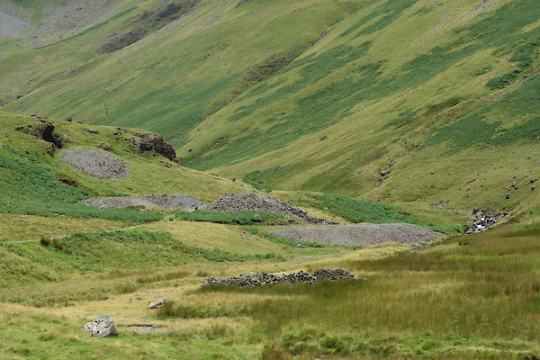 CBI70.jpg (taken 4.8.2014) 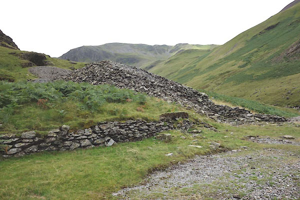 CBI71.jpg (taken 4.8.2014) |
||
|
|
||
| :- |
Dates from 1860? Last worked 1918. There are trial levels higher up the hill. |
|
| West Castlenook Lode, galena. |
||
| Adams, John: 1988: Mines of the Lake District Fells: Dalesman Books (Lancaster, Lancashire)::
ISBN 0 85206 931 6 |
||
|
|
||
 Lakes Guides menu.