 Old Cumbria Gazetteer
 |
 |
|
| Broughtonmoor Colliery, Broughton Moor | ||
| gone | ||
| Broughtonmoor Colliery | ||
| locality:- | Broughton Moor | |
| civil parish:- | Broughton Moor (formerly Cumberland) | |
| county:- | Cumbria | |
| locality type:- | coal mine | |
| locality type:- | mine | |
| coordinates:- | NY05153402 (about) | |
| 1Km square:- | NY0534 | |
| 10Km square:- | NY03 | |
| references:- | OS County Series |
|
|
|
||
| evidence:- | old map:- OS County Series (Cmd 45) placename:- Broughtonmoor Colliery placename:- Nelson Pit |
|
| source data:- | Maps, County Series maps of Great Britain, scales 6 and 25
inches to 1 mile, published by the Ordnance Survey, Southampton,
Hampshire, from about 1863 to 1948. "Broughtonmoor Colliery ([Nelson Pit])" |
|
|
|
||
| evidence:- | old map:- Postlethwaite 1877 (3rd edn 1913) |
|
| source data:- | Map, uncoloured engraving, Map of the Lake District Mining Field, Westmorland, Cumberland,
Lancashire, scale about 5 miles to 1 inch, by John Postlethwaite, published by W H
Moss and Sons, 13 Lowther Street, Whitehaven, Cumberland, 1877 edn 1913.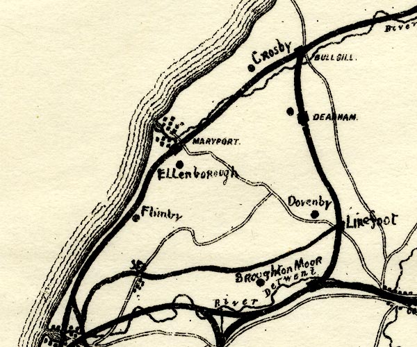 PST2NY03.jpg "Broughton Moor" mine symbol item:- JandMN : 162.2 Image © see bottom of page |
|
|
|
||
 Lakes Guides menu.